


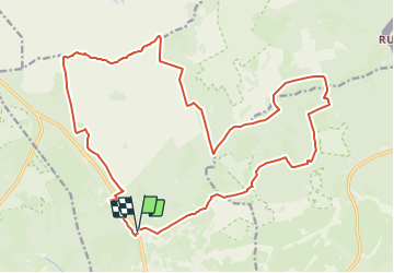

16,7 km | 22 km-effort
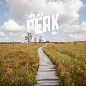
Nos balades autour de la brasserie n'attendent que vous! PRO


Application GPS de randonnée GRATUITE
 SityTrail
IGN / Instituts géographiques
SityTrail World
Le monde est à vous
Randonnée Marche de 22 km à découvrir à Wallonie, Liège, Waimes. Cette randonnée est proposée par Peak Beer.
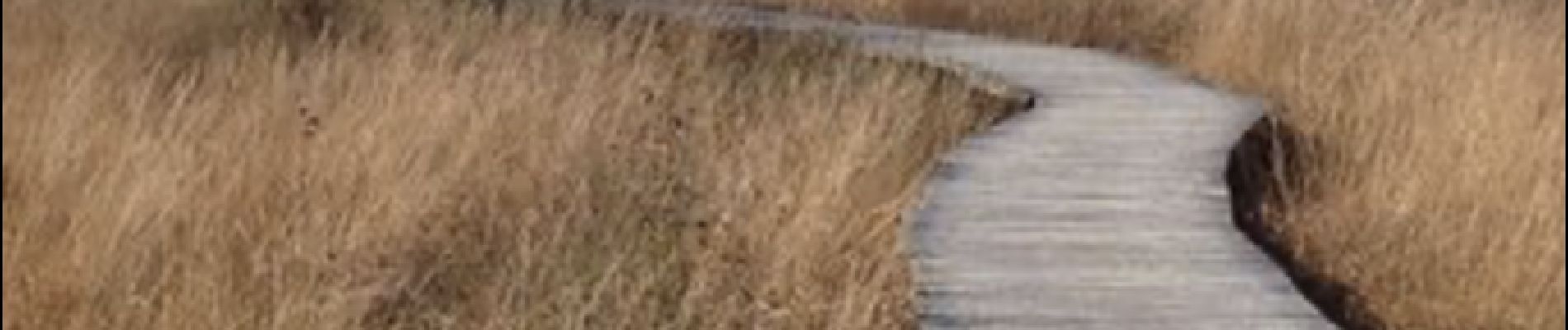
Longue randonnée qui vous fait découvrir Bosfagne, l'étang du Schwarzbach et la grande Fagne Wallonne.


Marche

Marche


Marche

Marche
Marche

Marche

Marche
Vive les randos près de Peak beer !