


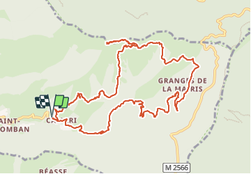

6,5 km | 10,5 km-effort

Utilisateur GUIDE


Application GPS de randonnée GRATUITE
 SityTrail
IGN / Instituts géographiques
SityTrail World
Le monde est à vous
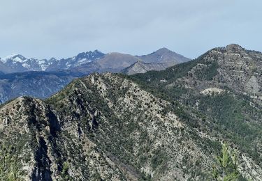
Randonnée Marche de 14,5 km à découvrir à Provence-Alpes-Côte d'Azur, Alpes-Maritimes, Lantosque. Cette randonnée est proposée par nadd73.
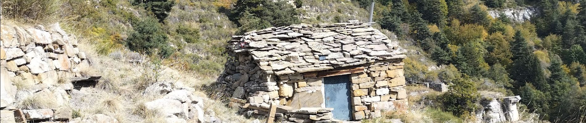
Départ de Camari. La montée est très pénible, le sentier est parfois inexistant ou disparaît donc ronces, genets, aubépines .. sont présents. Ce sont les animaux sauvages qui font qu'une vague trace existe.


A pied

A pied

Marche
Marche
Marche
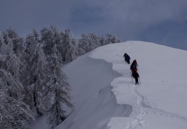
Raquettes à neige
Marche
Marche
Marche