4,2 km | 5,3 km-effort
VTT Ste Croix 18km 400D+ 2023-09-16
Levillefranchois
Utilisateur
Longueur
18,4 km
Altitude max
429 m
Dénivelé positif
342 m
Km-Effort
23 km
Altitude min
355 m
Dénivelé négatif
342 m
Boucle
Oui
Date de création :
2023-10-14 10:46:16.069
Dernière modification :
2023-10-14 10:47:41.491
1h35
Difficulté : Facile
Application GPS de randonnée GRATUITE
À propos
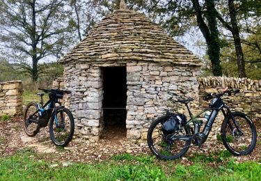
Randonnée V.T.T. de 18,4 km à découvrir à Occitanie, Aveyron, Sainte-Croix. Cette randonnée est proposée par Levillefranchois.
Description
Parcours facile, parking salle des fêtes de Ste Croix
Localisation
Pays :
France
Région :
Occitanie
Département/Province :
Aveyron
Commune :
Sainte-Croix
Localité :
Unknown
Départ:(Dec)
Départ:(UTM)
417742 ; 4919875 (31T) N.
Commentaires
Randonnées à proximité
Balade autour de Sainte-Croix - Circuit 1
A pied
Facile
Sainte-Croix,
Occitanie,
Aveyron,
France
1h 12min
Oui
Balade autour de Sainte-Croix - Circuit 2
A pied
Facile
Sainte-Croix,
Occitanie,
Aveyron,
France
4,9 km | 6,2 km-effort
1h 24min
Non
Balade autour de Sainte-Croix - Circuit 3
A pied
Facile
Sainte-Croix,
Occitanie,
Aveyron,
France
6,5 km | 8,1 km-effort
1h 50min
Oui
Circuit des 3 clochers
A pied
Facile
Sainte-Croix,
Occitanie,
Aveyron,
France
13,9 km | 17,4 km-effort
3h 57min
Oui
VTT Ste Croix 37km 840D+
V.T.T.
Moyen
Sainte-Croix,
Occitanie,
Aveyron,
France
36 km | 46 km-effort
3h 9min
Oui
la capelle maroule puyjourdes loule anglars les buis lacapelle
V.T.T.
Moyen
La Capelle-Balaguier,
Occitanie,
Aveyron,
France
31 km | 40 km-effort
2h 52min
Oui
la capelle anglars estrabols borieangle croix belge saut mounine trep et reto...
V.T.T.
Moyen
La Capelle-Balaguier,
Occitanie,
Aveyron,
France
32 km | 40 km-effort
3h 8min
Oui
Boucle de Lacapelle Balaguier
Marche
Moyen
La Capelle-Balaguier,
Occitanie,
Aveyron,
France
14 km | 18,4 km-effort
3h 0min
Oui
VTT La Capelle Balaguier 40km 800D+
V.T.T.
Moyen
Saujac,
Occitanie,
Aveyron,
France
38 km | 48 km-effort
3h 18min
Oui