


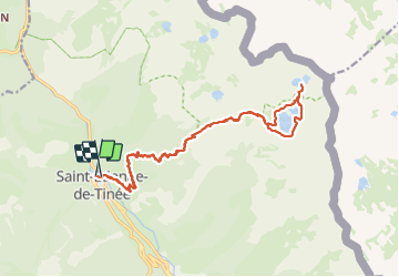

19,5 km | 40 km-effort

Utilisateur GUIDE


Application GPS de randonnée GRATUITE
 SityTrail
IGN / Instituts géographiques
SityTrail World
Le monde est à vous
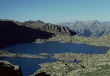
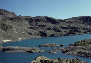
Randonnée Marche de 22 km à découvrir à Provence-Alpes-Côte d'Azur, Alpes-Maritimes, Saint-Étienne-de-Tinée. Cette randonnée est proposée par nadd73.
Départ de Saint Etienne de tinée.
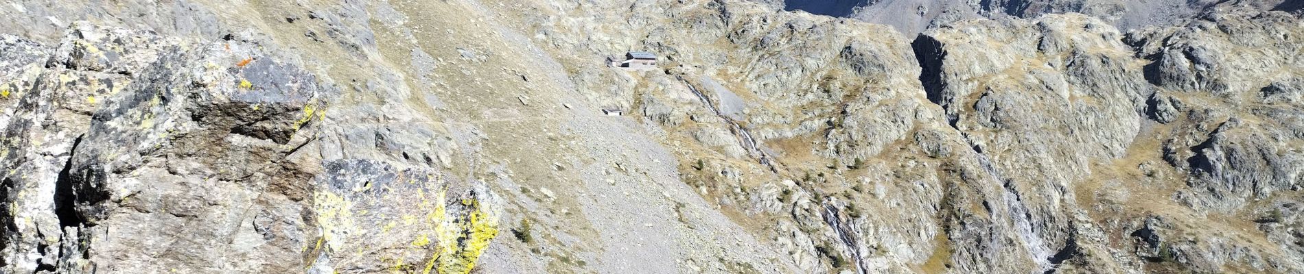
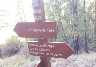
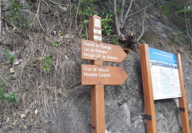
Montée dans la forêt longue sinon le sentier de l'énergie dans le rocher est très beau et ne parlons pas des lacs d'automne !


Marche

Marche
Marche

A pied

A pied

A pied

A pied
A pied
A pied