


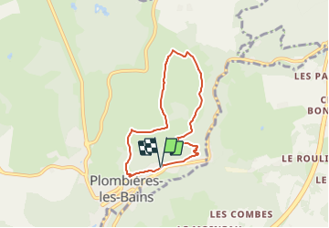


7,9 km | 10,2 km-effort


Utilisateur


Application GPS de randonnée GRATUITE
 SityTrail
IGN / Instituts géographiques
SityTrail World
Le monde est à vous
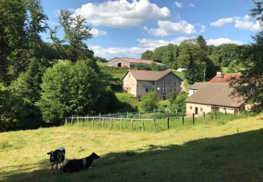
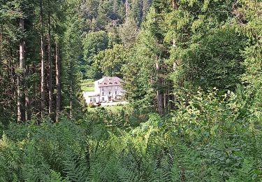
Randonnée Marche de 5,8 km à découvrir à Grand Est, Vosges, Plombières-les-Bains. Cette randonnée est proposée par Emmanuel Remy.
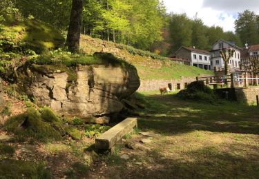
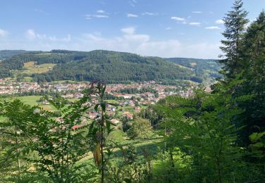
La Chapelle de la Vierge des Champs, campée au sommet d'une colline verdoyante, porte bien son nom. Avec son toit en laves du pays, elle s'intègre parfaitement au paysage.
Marche
Marche
Marche nordique
Randonnée équestre
Marche
Randonnée équestre
Marche
Marche