


 - Photo 21")
 - Photo 22")

4,2 km | 6 km-effort

Utilisateur


Application GPS de randonnée GRATUITE
 SityTrail
IGN / Instituts géographiques
SityTrail World
Le monde est à vous
Randonnée Marche de 7,5 km à découvrir à Wallonie, Liège, Herstal. Cette randonnée est proposée par Godasses et Grosses Pattes.
2éme étape du SGR 412 sentier des terrils dans le sens Blegny mine - Bernissart
1er partie de la boucles les coteaux (Herstal - citadelle de Liège - Herstal)
que j'ai scindé en deux Herstal - citadelle de Liège.
 - Photo 1")
 - Photo 2")
 - Photo 3")
 - Photo 4")
 - Photo 5")
 - Photo 6")
 - Photo 7")
 - Photo 8")
 - Photo 9")
 - Photo 10")
 - Photo 11")
 - Photo 12")
 - Photo 13")
 - Photo 14")
 - Photo 15")
 - Photo 16")
 - Photo 17")
 - Photo 18")
 - Photo 19")
 - Photo 20")
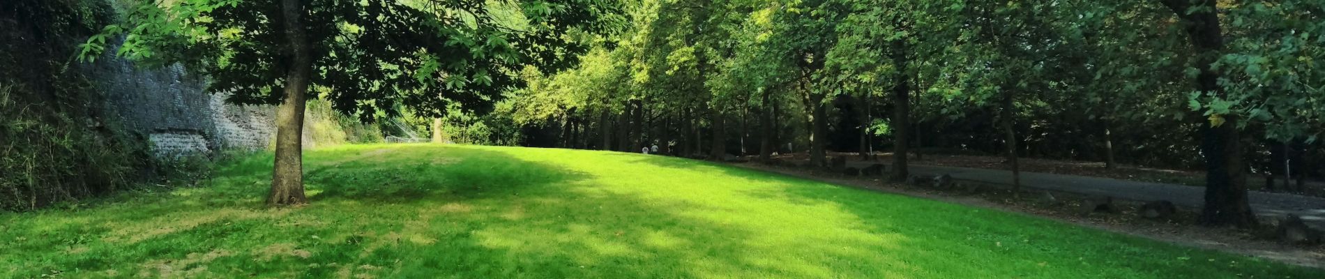
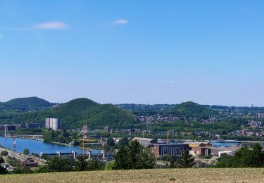
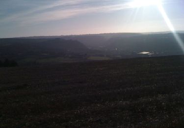
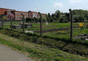
22 photos au total. Cliquez sur une photo pour les afficher toutes dans la galerie.

Marche

Marche

Marche


Marche
Vélo électrique
Marche

Marche nordique
Marche