


22 km | 26 km-effort

Utilisateur GUIDE


Application GPS de randonnée GRATUITE
 SityTrail
IGN / Instituts géographiques
SityTrail World
Le monde est à vous
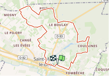
Randonnée Marche de 11,8 km à découvrir à Centre-Val de Loire, Indre-et-Loire, Saint-Martin-le-Beau. Cette randonnée est proposée par Orcal37.
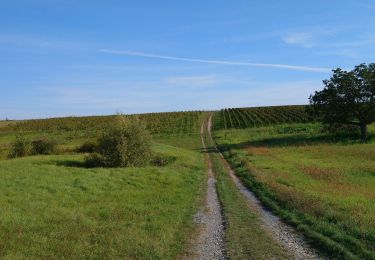
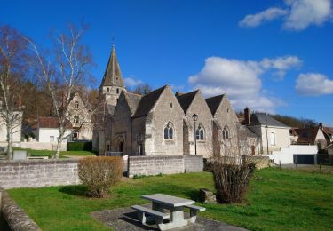
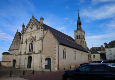
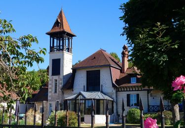
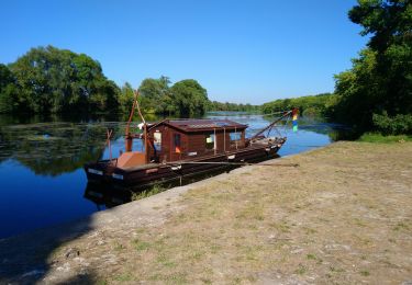
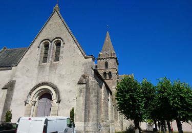
Saint-Martin-le-Beau - PR Entre Vignes et Forêts - dans le sens inverse du balisage - 11.8km 120m 2h45 (45mn) - 2023 10 07
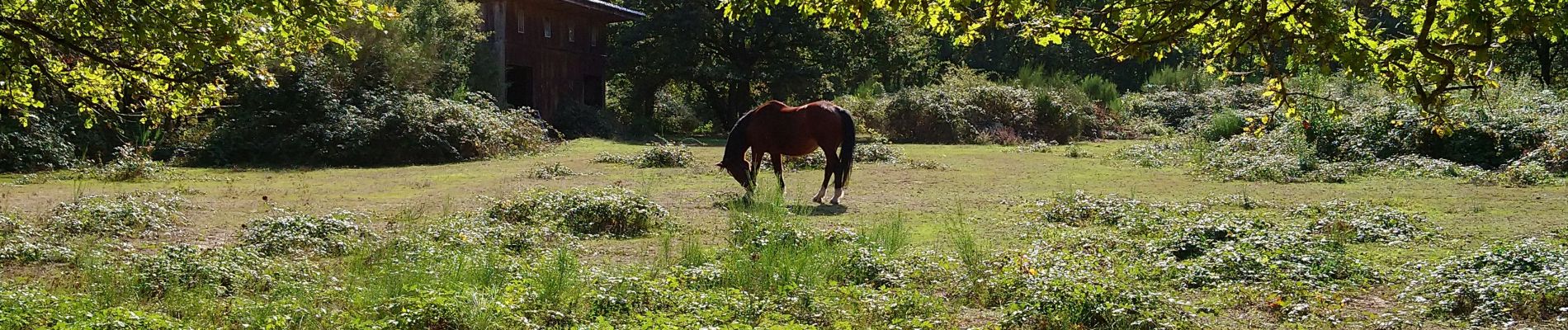
 - 2023 10 07 - Photo 1")
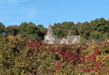
 - 2023 10 07 - Photo 2")
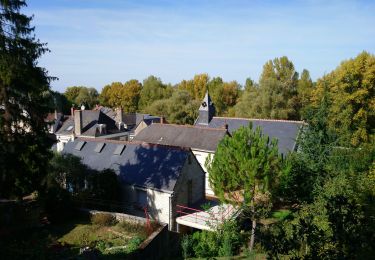
 - 2023 10 07 - Photo 3")
 - 2023 10 07 - Photo 4")
 - 2023 10 07 - Photo 5")
 - 2023 10 07 - Photo 6")
 - 2023 10 07 - Photo 7")
 - 2023 10 07 - Photo 8")
Marche
Marche
Marche
Marche
Marche
Marche
Marche
Marche

Marche