


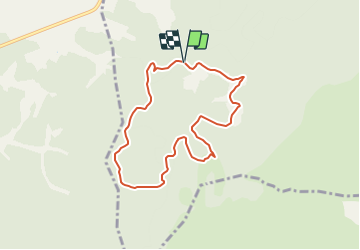

20 km | 26 km-effort


Utilisateur


Application GPS de randonnée GRATUITE
 SityTrail
IGN / Instituts géographiques
SityTrail World
Le monde est à vous
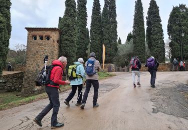
Randonnée Marche de 7,8 km à découvrir à Occitanie, Aude, Narbonne. Cette randonnée est proposée par SoleilMoussanais.
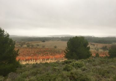
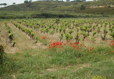
Boucle agréable. Circuit varié, sentiers parfois caillouteux, empruntant parfois une portion de la voix Domitienne. Halte possible à l'Aragnon. Attention se renseigner sur les battues aux sangliers auprès de la diane de Fontfroide.
Autre activité
Marche

Marche

Marche
Marche
Marche
Marche
Marche