


4 km | 6,5 km-effort


Utilisateur


Application GPS de randonnée GRATUITE
 SityTrail
IGN / Instituts géographiques
SityTrail World
Le monde est à vous
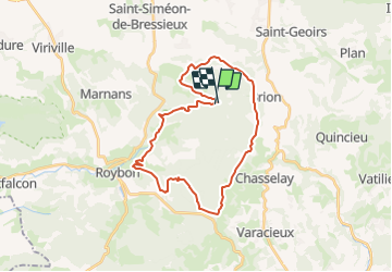
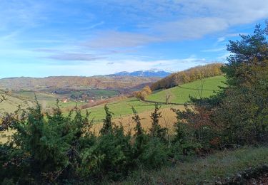
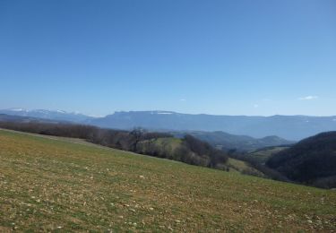
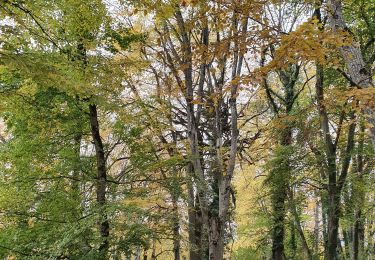
Randonnée Randonnée équestre de 29 km à découvrir à Auvergne-Rhône-Alpes, Isère, Saint-Pierre-de-Bressieux. Cette randonnée est proposée par azipat.
Itinéraire proposé par Isère Cheval vert, modifié pour éviter le parc animalier (fermé en hiver).
Marche
Marche

Marche
Marche
Marche
Randonnée équestre
Marche

Marche
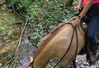
Randonnée équestre