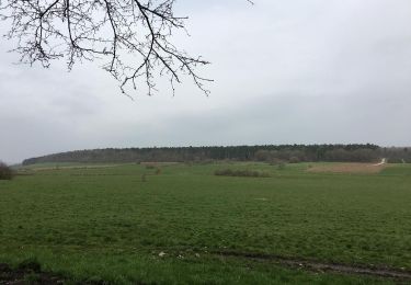
Randonnée A pied Wellin - WE 04 Chanly - Belles plumes ( - Photo

WE 04 Chanly - Belles plumes (

 grande_foret_sthubert
grande_foret_sthubert

Utilisateur GUIDE

© OpenStreetMap contributors
Longueur
Longueur
8,4 km
Altitude max
Altitude max
334 m
Dénivelé positif
Dénivelé positif
256 m
Km-Effort
Km-Effort  
11,8 km
Altitude min
Altitude min
188 m
Dénivelé négatif
Dénivelé négatif
256 m
Boucle
Boucle
Oui
Date de création :
2023-10-03 07:52:05.674
Dernière modification :
2024-02-19 06:30:57.252

(0 Avis)

A pied
A pied
2h41
Difficulté : Facile

Scannez ce code QR pour ouvrir la randonnée dans l'application SityTrail

Application GPS de randonnée GRATUITE

Logo SityTrail SityTrail

IGN / Instituts géographiques

Télécharger SityTrail sur l'App Store Télécharger SityTrail sur Google Play

Logo SityTrail SityTrail World

Le monde est à vous

Télécharger SityTrail sur l'App Store Télécharger SityTrail sur Google Play Télécharger SityTrail sur Huawei AppGallery

À propos

Randonnée A pied de 8,4 km à découvrir à Wallonie, Luxembourg, Wellin. Cette randonnée est proposée par grande_foret_sthubert.

Description

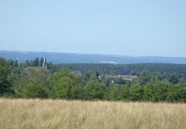
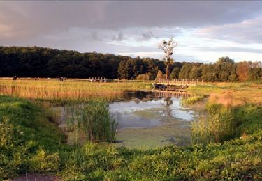
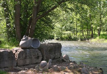
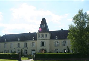
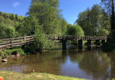
Promenade au départ de Chanly dont l'itinéraire passe devant les anciennes forges de Neupont ( domaine privé) En 1736, S.-F. de Baillet, maître de forges à Habay-la-Neuve, rénove l'ancienne forge de Neupont (XVe siècle) en la transformant en affinerie. De cette époque date le bel ensemble architectural comprenant forge, logis du maître, glacière, ainsi que le vaste étang aux berges jalonnées de tilleuls séculaires.

Profil altimétrique

Points d'intérêt

Point d'intérêt Wellin - Point de vue des belle Plumes - Photo
grande_foret_sthubert
Point d'intérêt Wellin - Carrière de Wagne - Photo
grande_foret_sthubert
Point d'intérêt Wellin - Chanly - Photo
grande_foret_sthubert
WELLIN 
Point d'intérêt Wellin - vers Belles Plumes - Photo
grande_foret_sthubert
Point d'intérêt Wellin - Le Val des Seniors - Photo
grande_foret_sthubert
Point d'intérêt Wellin - Le Baligan - Photo
grande_foret_sthubert
WELLIN 
Point d'intérêt Wellin - La Cave des Nutons - Photo
grande_foret_sthubert

Localisation

Pays :
Belgique
Région :
Wallonie
Département/Province :
Luxembourg
Commune :
Wellin
Localité :
Unknown
Départ:(UTM)
654031 ; 5549646 (31U) N.

Randonnées à proximité

Randonnée Marche Wellin - RB-Lu-25_Wellin - Photo
Marche
PRO

Marche

Très facile
(6)
Wellin, Wallonie, Luxembourg, Belgique
26 km | 33 km-effort
6h 46min
Oui
Randonnée Marche Rochefort - Patrimoine - Circuit découverte Lavaux-Sainte-Anne - Photo
Marche
PRO

Marche

Facile
(9)
Rochefort, Wallonie, Namur, Belgique
5 km | 5,6 km-effort
1h 30min
Oui
Randonnée Marche Tellin - Tellin. Natura 2000, des sites qui valent le détour ! Lx 7 - Photo
Marche
GUIDE+

Marche

Moyen
(7)
Tellin, Wallonie, Luxembourg, Belgique
9,6 km | 11,9 km-effort
1h 30min
Oui
Randonnée Marche Wellin - Wellin - Wéry_Variante (WE 06) - Photo
Marche
GUIDE+

Marche

Difficile
(5)
Wellin, Wallonie, Luxembourg, Belgique
11,4 km | 15,5 km-effort
3h 30min
Oui
Randonnée Marche Rochefort - Circuit découverte - La nature autour de Belvaux - Photo
Marche
PRO

Marche

Facile
(8)
Rochefort, Wallonie, Namur, Belgique
6,5 km | 8,4 km-effort
1h 20min
Oui
Randonnée Marche Rochefort - Nature : Belvaux - Les Rouges-Gorges - Photo
Marche
PRO

Marche

Facile
(13)
Rochefort, Wallonie, Namur, Belgique
5,8 km | 7,6 km-effort
1h 20min
Oui
Randonnée Marche Tellin - Balade à Resteigne - Photo
Marche
GUIDE
Desrumaux

Marche

Facile
(1)
Tellin, Wallonie, Luxembourg, Belgique
12,6 km | 16,2 km-effort
3h 32min
Oui
Randonnée Marche Rochefort - Nature : Belvaux - Les Rouges-Gorges - Photo
Marche
PRO

Marche

Facile
(3)
Rochefort, Wallonie, Namur, Belgique
5,8 km | 7,6 km-effort
1h 20min
Oui
Randonnée Marche Wellin - Balade de Wellin à Froidlieu - Photo
Marche
GUIDE
Desrumaux

Marche

Facile
(3)
Wellin, Wallonie, Luxembourg, Belgique
8,8 km | 10,9 km-effort
2h 20min
Oui


Fermer
Mes abonnements