


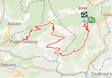

16,6 km | 30 km-effort


Utilisateur


Application GPS de randonnée GRATUITE
 SityTrail
IGN / Instituts géographiques
SityTrail World
Le monde est à vous
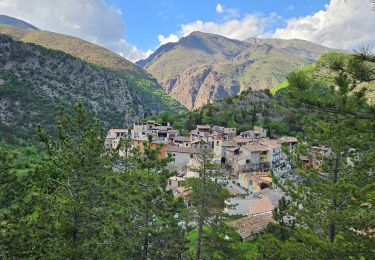
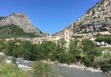
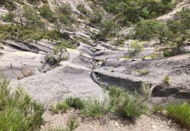
Randonnée V.T.T. de 44 km à découvrir à Provence-Alpes-Côte d'Azur, Alpes-Maritimes, Rigaud. Cette randonnée est proposée par franquen.
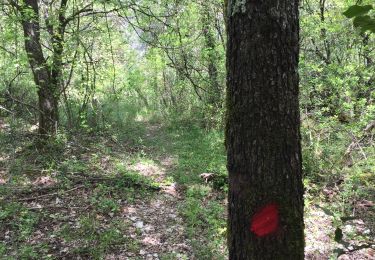
rando assez longue mais pas difficile de beaux paysages notamment la descente sur Puget Rostang. Chemin très caillouteux pour atteindre le col.
Marche
Marche
Raquettes à neige
Marche

Marche
A pied
A pied
Vélo de route
Marche