


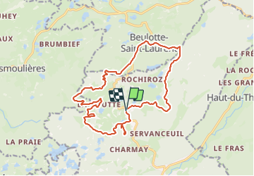

10,7 km | 13,9 km-effort


Utilisateur


Application GPS de randonnée GRATUITE
 SityTrail
IGN / Instituts géographiques
SityTrail World
Le monde est à vous
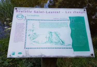
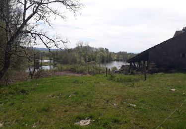
Randonnée V.T.T. de 17,8 km à découvrir à Bourgogne-Franche-Comté, Haute-Saône, Servance-Miellin. Cette randonnée est proposée par qlqin.
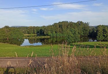
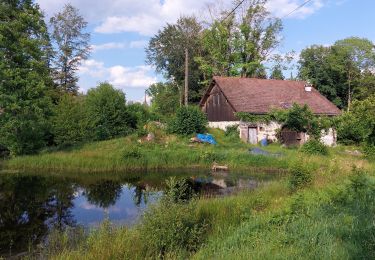
Facile en VTT assisté, moyen sans assistance, toujours de superbes tracés très variés et plein de charme ... avec leur difficultés propres (belle montée au milieu des racines par exemple).

Marche

Marche

Marche
Marche
Marche
Marche

Marche
Marche
Marche