


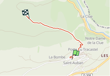

11,5 km | 17,8 km-effort


Utilisateur


Application GPS de randonnée GRATUITE
 SityTrail
IGN / Instituts géographiques
SityTrail World
Le monde est à vous
Randonnée Marche de 1,2 km à découvrir à Provence-Alpes-Côte d'Azur, Alpes-Maritimes, Saint-Auban. Cette randonnée est proposée par 56jj.
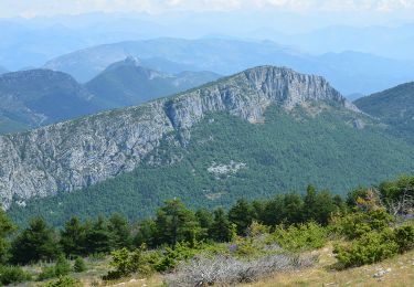
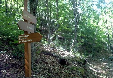
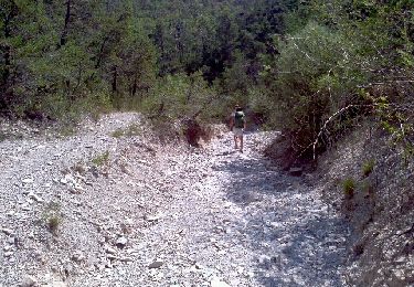
rando moyenne dans les bois


A pied
Marche
Marche
Marche
Marche

A pied
Marche
Marche

Vélo
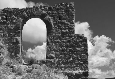
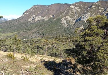
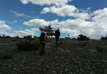
très belle balade avec pour finir la clue