


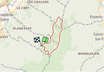

10,6 km | 26 km-effort


Utilisateur


Application GPS de randonnée GRATUITE
 SityTrail
IGN / Instituts géographiques
SityTrail World
Le monde est à vous
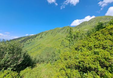
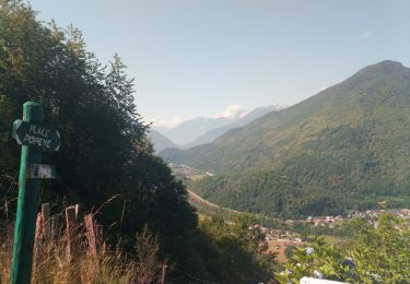
Randonnée Marche de 10,5 km à découvrir à Auvergne-Rhône-Alpes, Savoie, Sainte-Hélène-sur-Isère. Cette randonnée est proposée par bymarc26.
Super rando
il faut mettre les mains mais ce n'est jamais dangereux
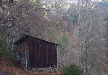
le refuge de la Tuile est sympa


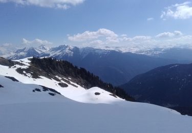
Ski de randonnée
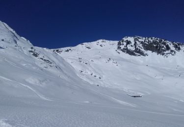
Ski de randonnée

Marche
Marche
Marche
Marche
Marche
Marche
Marche