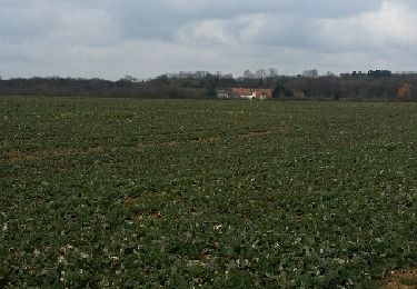
3,3 km | 4,6 km-effort
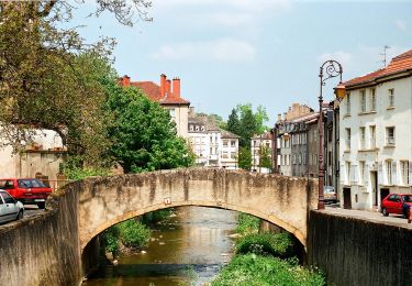
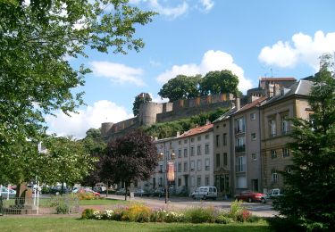
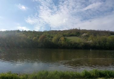
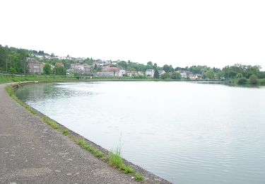
maling - thionville : bord de la moselle
laurent_57
Utilisateur
Longueur
14,5 km
Altitude max
156 m
Dénivelé positif
97 m
Km-Effort
15,8 km
Altitude min
137 m
Dénivelé négatif
88 m
Boucle
Non
Date de création :
2014-12-10 00:00:00.0
Dernière modification :
2014-12-10 00:00:00.0
--
Difficulté : Inconnu
Application GPS de randonnée GRATUITE
À propos
Randonnée Vélo de 14,5 km à découvrir à Grand Est, Moselle, Malling. Cette randonnée est proposée par laurent_57.
Localisation
Pays :
France
Région :
Grand Est
Département/Province :
Moselle
Commune :
Malling
Localité :
Unknown
Départ:(Dec)
Départ:(UTM)
303777 ; 5477924 (32U) N.
Commentaires
Randonnées à proximité
Schengen grenzenlos / sans frontières
A pied
Facile
Contz-les-Bains,
Grand Est,
Moselle,
France
1h 3min
Non
Sierck Montenach
Marche
Moyen
(1)
Sierck-les-Bains,
Grand Est,
Moselle,
France
15,5 km | 20 km-effort
4h 4min
Oui
Sentier Sierck-Apach-Montenach
A pied
Difficile
Sierck-les-Bains,
Grand Est,
Moselle,
France
23 km | 31 km-effort
7h 4min
Oui
CV SentierKoenigsberg
A pied
Facile
Sierck-les-Bains,
Grand Est,
Moselle,
France
6,2 km | 8 km-effort
1h 49min
Non
duc de Lorraine malbrouck
Marche
Très difficile
Sierck-les-Bains,
Grand Est,
Moselle,
France
28 km | 36 km-effort
8h 22min
Non
Rettel-Montenach-Hunting
Randonnée équestre
Moyen
Rettel,
Grand Est,
Moselle,
France
20 km | 25 km-effort
4h 19min
Non
RGE 2024 - Sibylline & Risueno
Cheval
Moyen
Malling,
Grand Est,
Moselle,
France
132 km | 167 km-effort
Inconnu
Non
VB4 SCHENGEN - METZ
V.T.T.
Très difficile
Rettel,
Grand Est,
Moselle,
France
42 km | 50 km-effort
27min
Non
koenigsberg variante
Marche
Moyen
Sierck-les-Bains,
Grand Est,
Moselle,
France
12,7 km | 16,2 km-effort
2h 35min
Oui