


13,3 km | 19 km-effort


Utilisateur


Application GPS de randonnée GRATUITE
 SityTrail
IGN / Instituts géographiques
SityTrail World
Le monde est à vous
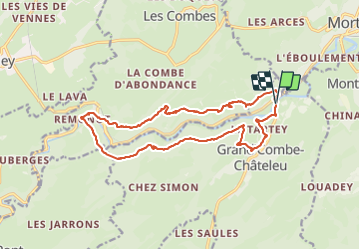
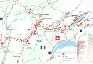
Randonnée Marche de 17,2 km à découvrir à Bourgogne-Franche-Comté, Doubs, Grand'Combe-Châteleu. Cette randonnée est proposée par eltonnermou.
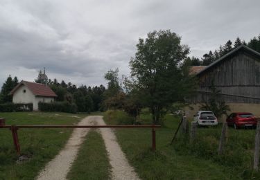
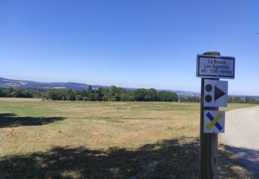
parking sur la droite, juste après le pont (sur le Doubs), avant d'arriver à Grand Combe Chateleu.
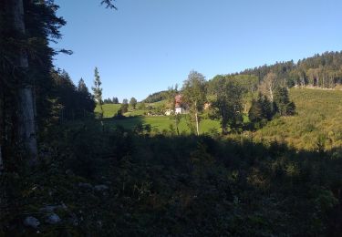
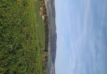
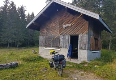
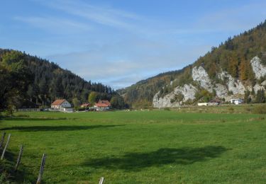
Très, très belle randonnée essentiellement en de magnifiques sous bois, avec des beaux points de vue ; prenez le temps de visiter cette petite grotte ; des passages en montée un peu plus engageants (bâtons fortement conseillés). La vue du Doubs dans le défilé d'entre-roche est toujours intéressante. Sur le retour, visitez ce village aux belles demeures typiques du Haut-Doubs.
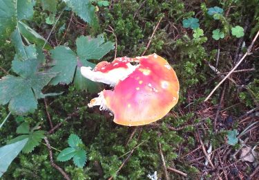
Et comme dans de tels paysages, laissez vous surprendre par la faune et la flore.


Marche
Marche
Marche
Marche
Cyclotourisme
Marche
Marche
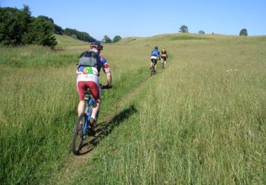
V.T.T.
V.T.C.