


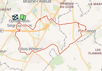

21 km | 27 km-effort


Utilisateur


Application GPS de randonnée GRATUITE
 SityTrail
IGN / Instituts géographiques
SityTrail World
Le monde est à vous
Randonnée Marche de 21 km à découvrir à Wallonie, Brabant wallon, Braine-l'Alleud. Cette randonnée est proposée par jeangulu.
Organisateur _ BBW 016 - LES MARCHEURS DU HAIN.
- - -47 Marche de l'Empereur.
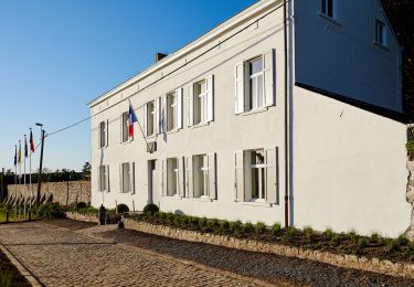
Point de départ _ Salle Communale Rue des Combattants 3 - 1421 - OPHAIN-BOIS-SEIGNEUR-ISAAC.

Marche

Marche

V.T.T.

V.T.T.

Marche

Marche
Marche
Marche

Marche