


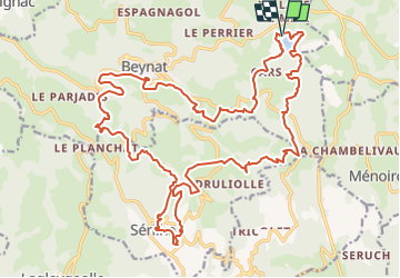

31 km | 41 km-effort


Utilisateur


Application GPS de randonnée GRATUITE
 SityTrail
IGN / Instituts géographiques
SityTrail World
Le monde est à vous
Randonnée V.T.T. de 29 km à découvrir à Nouvelle-Aquitaine, Corrèze, Beynat. Cette randonnée est proposée par Gpoujade.
Rando octobre Rose 2023 : Boucle au départ du lac de miel à Beynat vers Sérilhac , ancienne voie du Tacot, Beynat

V.T.T.
V.T.T.
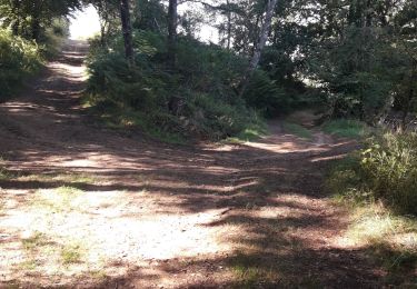
Marche
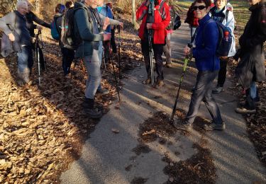
Marche nordique

Marche
Marche
Marche

Marche nordique
Marche