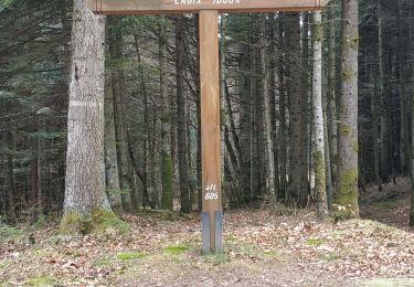
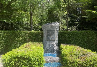
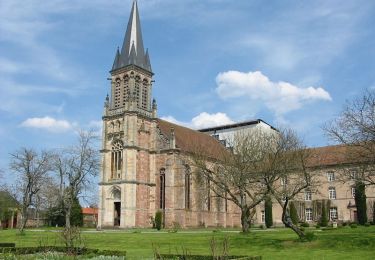
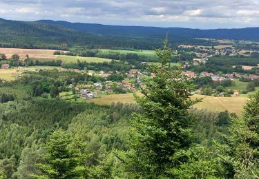
31 km | 42 km-effort
Mont Repos
Pascal Raon
Utilisateur
Longueur
10,8 km
Altitude max
523 m
Dénivelé positif
262 m
Km-Effort
14,3 km
Altitude min
393 m
Dénivelé négatif
256 m
Boucle
Oui
Date de création :
2023-09-14 11:45:33.901
Dernière modification :
2023-09-14 15:35:38.851
3h49
Difficulté : Difficile
Application GPS de randonnée GRATUITE
À propos
Randonnée Marche de 10,8 km à découvrir à Grand Est, Vosges, La Bourgonce. Cette randonnée est proposée par Pascal Raon.
Localisation
Pays :
France
Région :
Grand Est
Département/Province :
Vosges
Commune :
La Bourgonce
Localité :
Unknown
Départ:(Dec)
Départ:(UTM)
335573 ; 5350749 (32U) N.
Commentaires
Randonnées à proximité
sortie vtt du 07042019 la bourgonce
V.T.T.
Difficile
La Bourgonce,
Grand Est,
Vosges,
France
2h 48min
Oui
vtt à Bourgonce 26 juin 2016
V.T.T.
Très facile
(2)
La Bourgonce,
Grand Est,
Vosges,
France
31 km | 42 km-effort
3h 39min
Oui
Marmonfosse
Marche
Moyen
La Houssière,
Grand Est,
Vosges,
France
15,4 km | 20 km-effort
4h 35min
Oui
Circuit du Grand Jumeau
A pied
Facile
Saint-Michel-sur-Meurthe,
Grand Est,
Vosges,
France
3,7 km | 5,8 km-effort
1h 18min
Oui
rando des jumeaux 2016
V.T.T.
Difficile
La Bourgonce,
Grand Est,
Vosges,
France
30 km | 41 km-effort
2h 39min
Oui
Orage sur la Mortagne (Autrey)
Marche
Moyen
Housseras,
Grand Est,
Vosges,
France
7,9 km | 11 km-effort
2h 30min
Oui
la bourgonce
Marche
Difficile
La Bourgonce,
Grand Est,
Vosges,
France
11,2 km | 15,9 km-effort
3h 35min
Oui
cepes
Geocaching
Très facile
La Bourgonce,
Grand Est,
Vosges,
France
10 km | 11,5 km-effort
1h 45min
Non