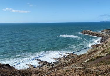
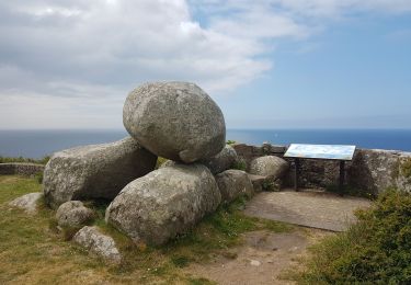
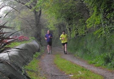
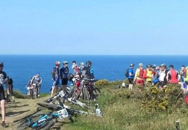
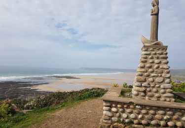
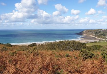
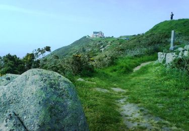
Randonnée Course à pied Flamanville - LRDE v2 - Photo
 seil
seil

Utilisateur

© OpenStreetMap contributors
Longueur
Longueur
607 km
Altitude max
Altitude max
174 m
Dénivelé positif
Dénivelé positif
7443 m
Km-Effort
Km-Effort  
706 km
Altitude min
Altitude min
-5 m
Dénivelé négatif
Dénivelé négatif
7411 m
Boucle
Boucle
Non
Date de création :
2023-09-13 20:10:21.783
Dernière modification :
2023-09-13 20:15:40.8

(0 Avis)

Course à pied
Course à pied
60h00
Difficulté : Très difficile

Scannez ce code QR pour ouvrir la randonnée dans l'application SityTrail

Application GPS de randonnée GRATUITE

Logo SityTrail SityTrail

IGN / Instituts géographiques

Télécharger SityTrail sur l'App Store Télécharger SityTrail sur Google Play

Logo SityTrail SityTrail World

Le monde est à vous

Télécharger SityTrail sur l'App Store Télécharger SityTrail sur Google Play Télécharger SityTrail sur Huawei AppGallery

À propos

Randonnée Course à pied de 607 km à découvrir à Normandie, Manche, Flamanville. Cette randonnée est proposée par seil.

Profil altimétrique

Points d'intérêt

Point d'intérêt Flamanville - POI - Photo
seil
FLAMANVILLE 
Point d'intérêt Honfleur - POI - Photo
seil
HONFLEUR 
Point d'intérêt Les Pieux - Relais 2 - Photo
seil
LES PIEUX 
Point d'intérêt Virandeville - Relais 3 - Photo
seil
VIRANDEVILLE 
Point d'intérêt Flamanville - Relais 1 - Photo
seil
FLAMANVILLE 
Point d'intérêt Cherbourg-en-Cotentin - Relais 4 - Photo
seil
CHERBOURG-EN-COTENTIN 
Point d'intérêt Fermanville - Relais 6 - Photo
seil
FERMANVILLE 
Point d'intérêt Cherbourg-en-Cotentin - Relais 5 - Photo
seil
CHERBOURG-EN-COTENTIN 
Point d'intérêt Gatteville-le-Phare - Relais 7 - Photo
seil
GATTEVILLE-LE-PHARE 
Point d'intérêt Réville - Relais 8 - Photo
seil
RÉVILLE 
Point d'intérêt Quinéville - Relais 9 - Photo
seil
QUINÉVILLE 
Point d'intérêt Montebourg - Relais 10 - Photo
seil
MONTEBOURG 
Point d'intérêt Sainte-Mère-Église - Relais 11 - Photo
seil
SAINTE-MÈRE-ÉGLISE 
Point d'intérêt Sainte-Marie-du-Mont - Relais 12 - Photo
seil
SAINTE-MARIE-DU-MONT 
Point d'intérêt Carentan-les-Marais - Relais 14 - Photo
seil
CARENTAN-LES-MARAIS 
Point d'intérêt Carentan-les-Marais - Relais 13 - Photo
seil
CARENTAN-LES-MARAIS 
Point d'intérêt Isigny-sur-Mer - Relais 15 - Photo
seil
ISIGNY-SUR-MER 
Point d'intérêt Grandcamp-Maisy - Relais 16 - Photo
seil
GRANDCAMP-MAISY 
Point d'intérêt Vierville-sur-Mer - Relais 17 - Photo
seil
VIERVILLE-SUR-MER 
Point d'intérêt Aure sur Mer - Relais 18 - Photo
seil
AURE SUR MER 
Point d'intérêt Arromanches-les-Bains - Relais 20 - Photo
seil
ARROMANCHES-LES-BAINS 
Point d'intérêt Commes - Relais 19 - Photo
seil
COMMES 
Point d'intérêt Ver-sur-Mer - Relais 21 - Photo
seil
VER-SUR-MER 
Point d'intérêt Luc-sur-Mer - Relais 22 - Photo
seil
LUC-SUR-MER 
Point d'intérêt Bénouville - Relais 23 - Photo
seil
BÉNOUVILLE 
Point d'intérêt Varaville - Relais 24 - Photo
seil
VARAVILLE 
Point d'intérêt Auberville - Relais 25 - Photo
seil
AUBERVILLE 
Point d'intérêt Deauville - Relais 26 - Photo
seil
DEAUVILLE 
Point d'intérêt Villerville - Relais 27 - Photo
seil
VILLERVILLE 

Localisation

Pays :
France
Région :
Normandie
Département/Province :
Manche
Commune :
Flamanville
Localité :
Unknown
Départ:(UTM)
581004 ; 5487108 (30U) N.

Randonnées à proximité

Randonnée Marche Flamanville - Flamanville - Photo
Marche
PatRando

Marche

Moyen
Flamanville, Normandie, Manche, France
9,6 km | 12 km-effort
1h 58min
Oui
Randonnée Marche Flamanville - Tour du cap de Flamanville - Photo
Marche
ged94

Marche

Difficile
Flamanville, Normandie, Manche, France
11,5 km | 14,6 km-effort
4h 0min
Oui
Randonnée V.T.T. Flamanville - Rando des Caps 2013 - 65 km - Flamanville - Photo
V.T.T.
tracegps

V.T.T.

Difficile
Flamanville, Normandie, Manche, France
60 km | 73 km-effort
3h 30min
Oui
Randonnée V.T.T. Flamanville - Rando des Caps 2013 - Flamanville - Photo
V.T.T.
tracegps

V.T.T.

Difficile
Flamanville, Normandie, Manche, France
41 km | 48 km-effort
2h 45min
Oui
Randonnée Marche Flamanville - 21 Aout Flamanville plage du sciotot boucle terre et mer - Photo
Marche
GUIDE
chessyca

Marche

Très difficile
Flamanville, Normandie, Manche, France
22 km | 27 km-effort
5h 26min
Oui
Randonnée Marche Le Rozel - Le Rozel - Cap de Rozel - Photo
Marche
ged94

Marche

Moyen
Le Rozel, Normandie, Manche, France
7,9 km | 9,3 km-effort
2h 47min
Oui
Randonnée Marche Les Pieux - Les Pieux,  Le Rozel, Flamanville  - Photo
Marche
PascalN

Marche

Moyen
Les Pieux, Normandie, Manche, France
21 km | 26 km-effort
4h 5min
Oui
Randonnée V.T.T. Tréauville - Balade hivernale canton des Pieux - Diélette - Photo
V.T.T.
tracegps

V.T.T.

Moyen
Tréauville, Normandie, Manche, France
25 km | 30 km-effort
1h 45min
Oui
Randonnée V.T.T. Flamanville - Rando des Caps 2012 - 55 km - Flamanville - Photo
V.T.T.
tracegps

V.T.T.

Difficile
Flamanville, Normandie, Manche, France
56 km | 67 km-effort
3h 0min
Non


Fermer
Mes abonnements