![](/images/other/stat-length.png)
![Randonnée Marche Asse - S-GR Groene Gordel: Mollem - Ternat - Photo](https://media.geolcdn.com/t/1900/400/6faef7af-0d0f-4faa-bb47-f1d7e98a3199.jpeg&format=pjpeg&maxdim=2)
S-GR Groene Gordel: Mollem - Ternat
dauzata
Utilisateur
![Longueur](/images/other/stat-length.png)
Longueur
16,9 km
![Altitude max](https://static1.geolcdn.com/siteimages/upload/files/1508320355ic_sort_altitude_max_24dp.png)
Altitude max
83 m
![Dénivelé positif](https://static1.geolcdn.com/siteimages/upload/files/1508320355ic_sort_den_pos_24dp.png)
Dénivelé positif
187 m
![Km-Effort](/images/other/stat-length.png)
Km-Effort
19,4 km
![Altitude min](https://static1.geolcdn.com/siteimages/upload/files/1508320355ic_sort_altitude_min_24dp.png)
Altitude min
17 m
![Dénivelé négatif](https://static1.geolcdn.com/siteimages/upload/files/1508320355ic_sort_den_neg_24dp.png)
Dénivelé négatif
210 m
![Boucle](https://static1.geolcdn.com/siteimages/upload/files/16400158638029165_repeat_loop_refresh_sync_direction_icon.png)
Boucle
Non
Date de création :
2023-09-09 10:00:55.0
Dernière modification :
2023-09-12 19:55:47.0
![Marche](https://static1.geolcdn.com/sitytour/trail-icons/101.png)
4h24
Difficulté : Moyen
![Scannez ce code QR pour ouvrir la randonnée dans l'application SityTrail](https://capi.geolives.com/qq0zvz2zws4bq2lad0pu/sitytour/trails/3800895/qr.png?size=200)
Application GPS de randonnée GRATUITE
À propos
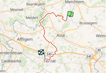
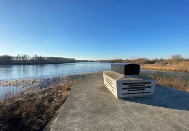
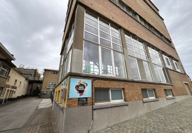
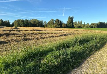
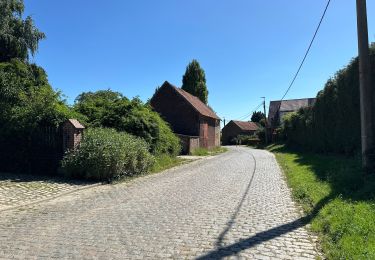
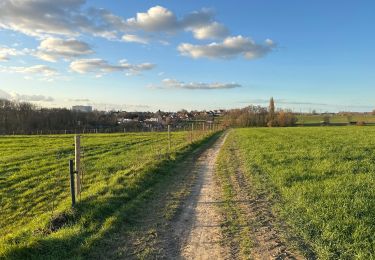
Randonnée Marche de 16,9 km à découvrir à Flandre, Brabant flamand, Asse. Cette randonnée est proposée par dauzata.
Description
Départ: Gare de Mollem
Arrivée: Gare de Ternat
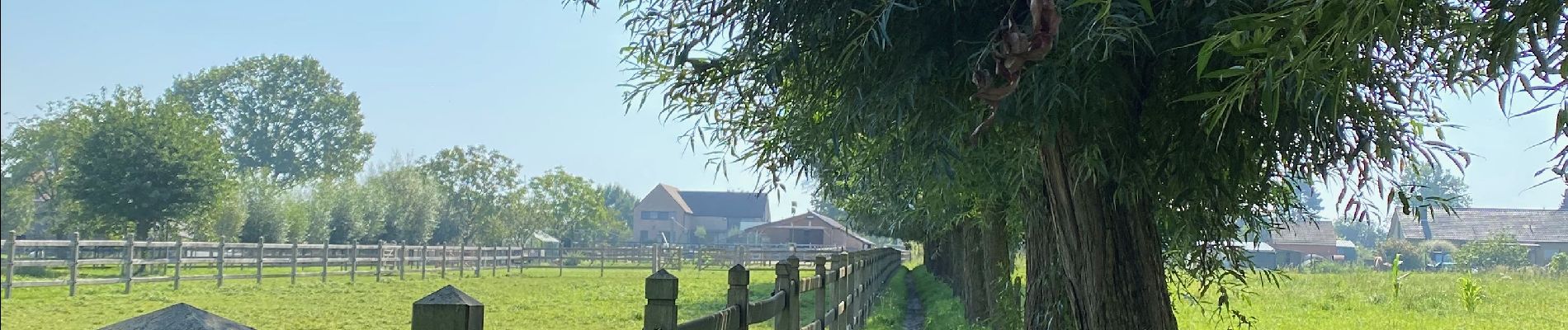
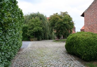
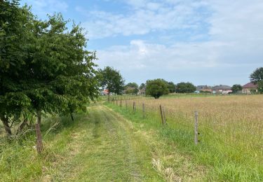
Localisation
Pays :
Belgique
Région :
Flandre
Département/Province :
Brabant flamand
Commune :
Asse
Localité :
Mollem
Départ:(Dec)
Départ:(UTM)
585359 ; 5642889 (31U) N.
Commentaires
Randonnées à proximité
![Randonnée Randonnée équestre Opwijk - Mazenzele- Meldert vanuit De Kleine Deugd - Photo](https://media.geolcdn.com/t/375/260/ext.jpg?maxdim=2&url=https%3A%2F%2Fstatic1.geolcdn.com%2Fsiteimages%2Fupload%2Ffiles%2F1524743154cheval.jpg)
![Randonnée équestre Randonnée équestre](https://static1.geolcdn.com/sitytour/trail-icons/301.png)
Mazenzele- Meldert vanuit De Kleine Deugd
Randonnée équestre
Facile
(1)
Opwijk,
Flandre,
Brabant flamand,
Belgique
![](/images/other/stat-length.png)
12,3 km | 14 km-effort
1h 57min
![](https://static1.geolcdn.com/siteimages/upload/files/16400158638029165_repeat_loop_refresh_sync_direction_icon.png)
Oui
![Randonnée A pied Alost - Kersenwandeling - Photo](https://media.geolcdn.com/t/375/260/ea2bda03-7aab-439e-ac2f-d6e170d9c15f.jpeg&format=jpg&maxdim=2)
![A pied A pied](https://static1.geolcdn.com/sitytour/trail-icons/100.png)
Kersenwandeling
A pied
Facile
Alost,
Flandre,
Flandre orientale,
Belgique
![](/images/other/stat-length.png)
5,1 km | 5,8 km-effort
1h 18min
![](https://static1.geolcdn.com/siteimages/upload/files/16400158638029165_repeat_loop_refresh_sync_direction_icon.png)
Oui
![Randonnée Marche Asse - Asse 25 km - Photo](https://media.geolcdn.com/t/375/260/93373654-1789-4a22-a980-4e4078e012f6.jpg&format=jpg&maxdim=2)
![Marche Marche](https://static1.geolcdn.com/sitytour/trail-icons/101.png)
![Randonnée Marche Merchtem - Brussegem nord 7,3 km - Photo](https://media.geolcdn.com/t/375/260/c2a2b302-b3fd-44e8-9488-687c48558849.jpg&format=jpg&maxdim=2)
![Marche Marche](https://static1.geolcdn.com/sitytour/trail-icons/101.png)
Brussegem nord 7,3 km
Marche
Facile
Merchtem,
Flandre,
Brabant flamand,
Belgique
![](/images/other/stat-length.png)
7,5 km | 8,3 km-effort
1h 40min
![](https://static1.geolcdn.com/siteimages/upload/files/16400158638029165_repeat_loop_refresh_sync_direction_icon.png)
Oui
![Randonnée Marche Merchtem - GR126 : Merchtem - Mariekerke - Photo](https://media.geolcdn.com/t/375/260/be036740-a01c-42d1-b024-7439497fcebd.jpeg&format=jpg&maxdim=2)
![Marche Marche](https://static1.geolcdn.com/sitytour/trail-icons/101.png)
GR126 : Merchtem - Mariekerke
Marche
Facile
Merchtem,
Flandre,
Brabant flamand,
Belgique
![](/images/other/stat-length.png)
25 km | 27 km-effort
6h 2min
![](https://static1.geolcdn.com/siteimages/upload/files/16400158638029165_repeat_loop_refresh_sync_direction_icon.png)
Non
![Randonnée Marche Asse - Kobbegem 9,5 km - Photo](https://media.geolcdn.com/t/375/260/2de11148-734b-4827-acd5-5954d6fd231a.jpg&format=jpg&maxdim=2)
![Marche Marche](https://static1.geolcdn.com/sitytour/trail-icons/101.png)
Kobbegem 9,5 km
Marche
Facile
Asse,
Flandre,
Brabant flamand,
Belgique
![](/images/other/stat-length.png)
9,5 km | 10,6 km-effort
2h 19min
![](https://static1.geolcdn.com/siteimages/upload/files/16400158638029165_repeat_loop_refresh_sync_direction_icon.png)
Oui
![Randonnée Marche Asse - Relegem 6,7 km - Photo](https://media.geolcdn.com/t/375/260/1ab31170-f8b5-400f-8065-9451c1820ffd.jpg&format=jpg&maxdim=2)
![Marche Marche](https://static1.geolcdn.com/sitytour/trail-icons/101.png)
Relegem 6,7 km
Marche
Moyen
Asse,
Flandre,
Brabant flamand,
Belgique
![](/images/other/stat-length.png)
6,7 km | 7,5 km-effort
1h 42min
![](https://static1.geolcdn.com/siteimages/upload/files/16400158638029165_repeat_loop_refresh_sync_direction_icon.png)
Oui
![Randonnée Marche Asse - Relegem 5 Km - Photo](https://media.geolcdn.com/t/375/260/e168bf9f-6b4e-4cfd-93d0-12a9f360e713.jpg&format=jpg&maxdim=2)
![Marche Marche](https://static1.geolcdn.com/sitytour/trail-icons/101.png)
Relegem 5 Km
Marche
Facile
Asse,
Flandre,
Brabant flamand,
Belgique
![](/images/other/stat-length.png)
5,3 km | 5,8 km-effort
1h 16min
![](https://static1.geolcdn.com/siteimages/upload/files/16400158638029165_repeat_loop_refresh_sync_direction_icon.png)
Oui
![Randonnée Marche Asse - Zellik 8,5 km - Photo](https://media.geolcdn.com/t/375/260/1e810e01-757b-48d4-b0eb-af3d4de90fe2.jpg&format=jpg&maxdim=2)
![Marche Marche](https://static1.geolcdn.com/sitytour/trail-icons/101.png)
Zellik 8,5 km
Marche
Très facile
Asse,
Flandre,
Brabant flamand,
Belgique
![](/images/other/stat-length.png)
8,6 km | 9,7 km-effort
1h 59min
![](https://static1.geolcdn.com/siteimages/upload/files/16400158638029165_repeat_loop_refresh_sync_direction_icon.png)
Oui