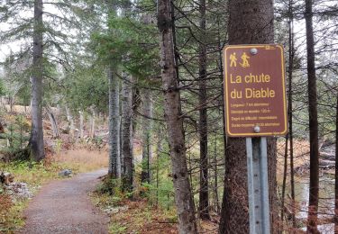
4,5 km | 7 km-effort
Mont Albert
aldaus
Utilisateur
Longueur
13,5 km
Altitude max
1061 m
Dénivelé positif
880 m
Km-Effort
25 km
Altitude min
207 m
Dénivelé négatif
879 m
Boucle
Oui
Date de création :
2023-09-08 10:47:08.352
Dernière modification :
2023-09-08 20:46:46.442
3h43
Difficulté : Moyen
Application GPS de randonnée GRATUITE
À propos
Randonnée Marche de 13,5 km à découvrir à Québec, La Haute-Gaspésie, Mont-Albert. Cette randonnée est proposée par aldaus.
Description
pour nous alpin...c est une rando sympa en moyenne montagne mais nous sommes au Québec à 1000 m alors tout change
Localisation
Pays :
Canada
Région :
Québec
Département/Province :
La Haute-Gaspésie
Commune :
Mont-Albert
Localité :
Unknown
Départ:(Dec)
Départ:(UTM)
710764 ; 5425555 (19U) N.
Commentaires
Randonnées à proximité
Chutes du diable - sentier du Mont Albert
Marche
Moyen
Mont-Albert,
Québec,
La Haute-Gaspésie,
Canada
6,9 km | 8,6 km-effort
1h 48min
Oui
Mont Albert - Parc national de la Gaspésie
Marche
Très difficile
Mont-Albert,
Québec,
La Haute-Gaspésie,
Canada
16,8 km | 29 km-effort
7h 0min
Oui
Mont Olivine et Abri de la Serpentine
Marche
Très difficile
Mont-Albert,
Québec,
La Haute-Gaspésie,
Canada
17 km | 26 km-effort
5h 19min
Oui
Chute du diable
Marche
Moyen
Mont-Albert,
Québec,
La Haute-Gaspésie,
Canada
7,1 km | 9,1 km-effort
1h 56min
Oui
Parc National de la Gaspésie - Mont Ernest Laforce
Marche
Moyen
Mont-Albert,
Québec,
La Haute-Gaspésie,
Canada
5,5 km | 8,6 km-effort
1h 46min
Oui
Parc National de la Gaspesie -Tour du Mont Albert
Marche
Très difficile
Mont-Albert,
Québec,
La Haute-Gaspésie,
Canada
17 km | 29 km-effort
5h 53min
Oui
mont Albert
Marche
Très difficile
Mont-Albert,
Québec,
La Haute-Gaspésie,
Canada
18,5 km | 30 km-effort
7h 2min
Oui
Tour du mont Ernest Laforce
Marche
Très facile
Mont-Albert,
Québec,
La Haute-Gaspésie,
Canada
7,8 km | 11,1 km-effort
1h 15min
Non