


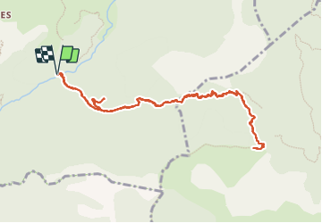


9,8 km | 17,3 km-effort

Utilisateur GUIDE


Application GPS de randonnée GRATUITE
 SityTrail
IGN / Instituts géographiques
SityTrail World
Le monde est à vous
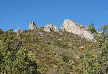
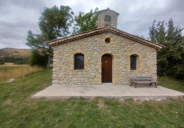
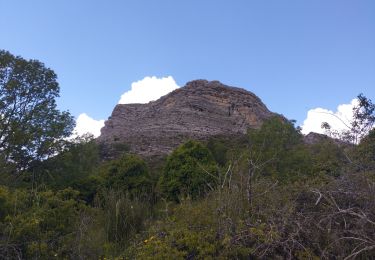
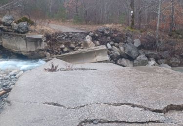
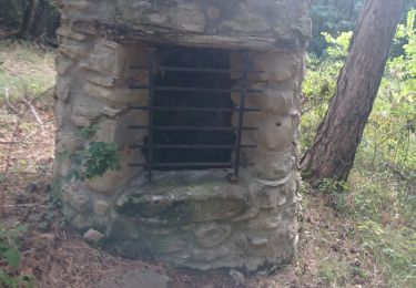
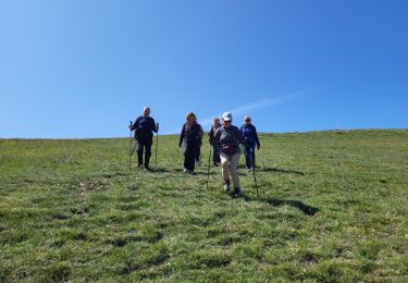
Randonnée Marche de 12,5 km à découvrir à Provence-Alpes-Côte d'Azur, Alpes-de-Haute-Provence, Saint-Geniez. Cette randonnée est proposée par RobinMicheline.


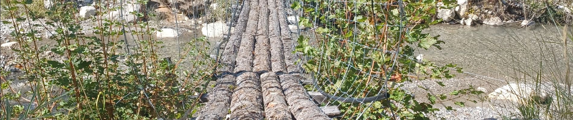
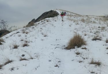
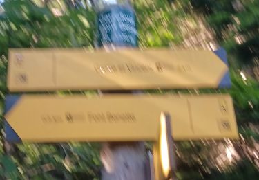
21 photos au total. Cliquez sur une photo pour les afficher toutes dans la galerie.
Marche

Marche
Marche
Marche
Marche
Marche
Marche
Marche
Marche