


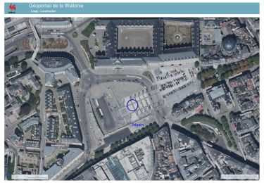
4,2 km | 6 km-effort

Utilisateur GUIDE


Application GPS de randonnée GRATUITE
 SityTrail
IGN / Instituts géographiques
SityTrail World
Le monde est à vous
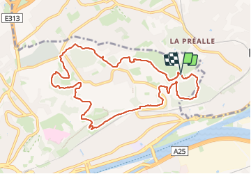
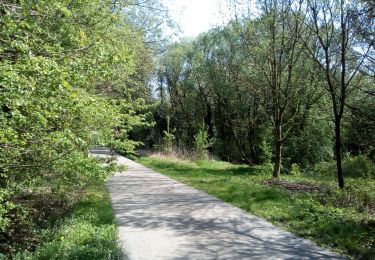
Randonnée Marche de 9,9 km à découvrir à Wallonie, Liège, Liège. Cette randonnée est proposée par stef789.
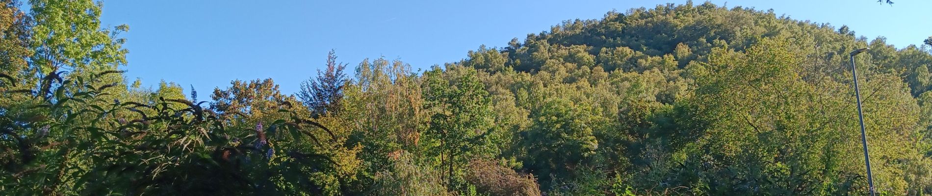
tu va passer sur ou près des terrils
* batterie nouveau
* batterie ancien
* banneux ancien
* berlaimont et son frère * belle vue


Marche

Marche

Marche

Marche

Marche nordique
Marche
Marche
Marche