![](/images/other/stat-length.png)
![Randonnée Marche Clervaux - Clervaux - Sentier local CL 2 - Photo](https://media.geolcdn.com/t/1900/400/378df12a-c7ca-4826-9832-7c942624e739.jpg&format=pjpeg&maxdim=2)
Clervaux - Sentier local CL 2
mumu.larandonneuse
Utilisateur GUIDE
![Longueur](/images/other/stat-length.png)
![Altitude max](https://static1.geolcdn.com/siteimages/upload/files/1508320355ic_sort_altitude_max_24dp.png)
![Dénivelé positif](https://static1.geolcdn.com/siteimages/upload/files/1508320355ic_sort_den_pos_24dp.png)
![Km-Effort](/images/other/stat-length.png)
![Altitude min](https://static1.geolcdn.com/siteimages/upload/files/1508320355ic_sort_altitude_min_24dp.png)
![Dénivelé négatif](https://static1.geolcdn.com/siteimages/upload/files/1508320355ic_sort_den_neg_24dp.png)
![Boucle](https://static1.geolcdn.com/siteimages/upload/files/16400158638029165_repeat_loop_refresh_sync_direction_icon.png)
![Marche](https://static1.geolcdn.com/sitytour/trail-icons/101.png)
2h14
Difficulté : Moyen
![Scannez ce code QR pour ouvrir la randonnée dans l'application SityTrail](https://capi.geolives.com/qq0zvz2zws4bq2lad0pu/sitytour/trails/3796894/qr.png?size=200)
Application GPS de randonnée GRATUITE
À propos
Randonnée Marche de 7,1 km à découvrir à Inconnu, Canton Clervaux, Clervaux. Cette randonnée est proposée par mumu.larandonneuse.
Description
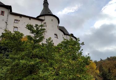
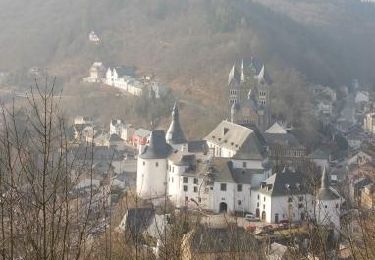
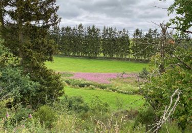
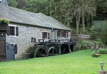
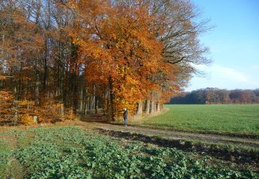
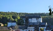
C'est une belle promenade qui vous fait découvrir tous les points forts de Clervaux.
Une bonne condition physique est requise mais la promenade n'est certainement pas très difficile.
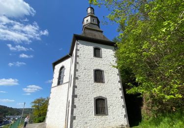
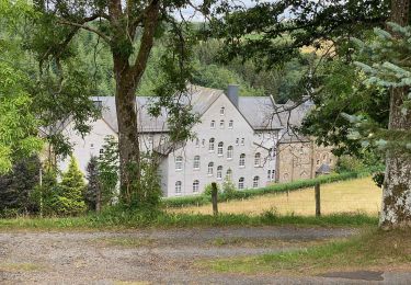
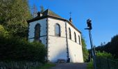
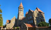
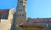
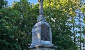
Bien sûr, au cours de cette promenade, vous visiterez le parc du château, l'église paroissiale avec ses belles tours jumelles qui est aussi une vue de l'intérieur, mais vous passerez aussi devant la chapelle de Loretto et, bien sûr, une visite à l'abbaye bénédictine de Saint-Maurice ne peut être manquée au cours de cette promenade.
Info pour le départ du camping :
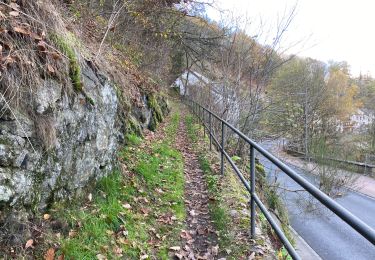
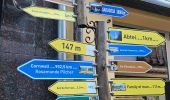
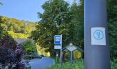
Il s'agit d'une boucle d'environ 7 km et vous récupérez l'itinéraire depuis le camping. Prenez à gauche en sortant du portail et suivez le sentier vers l'arrière, à l'arrêt de bus vous verrez la première indication "CL2" sur le lampadaire. De là, vous pouvez commencer à suivre cette indication.
Localisation
Commentaires
Randonnées à proximité
![Randonnée Marche Clervaux - Clervaux - Sentier local CL 5 - Photo](https://media.geolcdn.com/t/375/260/4d9c17af-90bd-4623-96d9-f2a288b490ef.jpg&format=jpg&maxdim=2)
![Marche Marche](https://static1.geolcdn.com/sitytour/trail-icons/101.png)
Marche
![](/images/other/stat-length.png)
![](https://static1.geolcdn.com/siteimages/upload/files/16400158638029165_repeat_loop_refresh_sync_direction_icon.png)
![Randonnée Marche Clervaux - Eislek Pad Clervaux - Photo](https://media.geolcdn.com/t/375/260/a09f0ff8-a7ec-4176-a920-c74694117be0.jpg&format=jpg&maxdim=2)
![Marche Marche](https://static1.geolcdn.com/sitytour/trail-icons/101.png)
Marche
![](/images/other/stat-length.png)
![](https://static1.geolcdn.com/siteimages/upload/files/16400158638029165_repeat_loop_refresh_sync_direction_icon.png)
![Randonnée Marche Clervaux - Boucle Les paysages cachés - Tronçon 4 - Clervaux - Kautenbach - Photo](https://media.geolcdn.com/t/375/260/ext.jpg?maxdim=2&url=https%3A%2F%2Fservices.sitytrail.com%2FGeolivesWS%2FDownloadMedia.ashx%3FTrailID%3D186890%26Media%3D90f81d4e-606b-4dcc-b8fd-d174effe43fc.jpg)
![Marche Marche](https://static1.geolcdn.com/sitytour/trail-icons/101.png)
Marche
![](/images/other/stat-length.png)
![](https://static1.geolcdn.com/siteimages/upload/files/16400158638029165_repeat_loop_refresh_sync_direction_icon.png)
![Randonnée Marche Clervaux - Randonnée CL02 - Photo](https://media.geolcdn.com/t/375/260/bb422fcb-3477-43d2-8ac8-41400bf08bbc.jpeg&format=jpg&maxdim=2)
![Marche Marche](https://static1.geolcdn.com/sitytour/trail-icons/101.png)
Marche
![](/images/other/stat-length.png)
![](https://static1.geolcdn.com/siteimages/upload/files/16400158638029165_repeat_loop_refresh_sync_direction_icon.png)
![Randonnée Marche Clervaux - Clervaux Abbaye et Mecher 10 km boucle - Photo](https://media.geolcdn.com/t/375/260/511fe587-f595-4c49-b220-32b06facd07f.jpg&format=jpg&maxdim=2)
![Marche Marche](https://static1.geolcdn.com/sitytour/trail-icons/101.png)
Marche
![](/images/other/stat-length.png)
![](https://static1.geolcdn.com/siteimages/upload/files/16400158638029165_repeat_loop_refresh_sync_direction_icon.png)
![Randonnée Marche Wincrange - Escapardenne Eisleck Trail: Moulin d'Asselborn - Houffalize - Photo](https://media.geolcdn.com/t/375/260/92df795c-9ebe-4619-8d75-350f07c2d083.jpeg&format=jpg&maxdim=2)
![Marche Marche](https://static1.geolcdn.com/sitytour/trail-icons/101.png)
Marche
![](/images/other/stat-length.png)
![](https://static1.geolcdn.com/siteimages/upload/files/16400158638029165_repeat_loop_refresh_sync_direction_icon.png)
![Randonnée Marche Clervaux - Escapardenne Eisleck Trail: Clervaux - Moulin d'Asselborn - Photo](https://media.geolcdn.com/t/375/260/46bbdc45-c1ec-447d-9c74-92fb6110c2e6.jpeg&format=jpg&maxdim=2)
![Marche Marche](https://static1.geolcdn.com/sitytour/trail-icons/101.png)
Marche
![](/images/other/stat-length.png)
![](https://static1.geolcdn.com/siteimages/upload/files/16400158638029165_repeat_loop_refresh_sync_direction_icon.png)
![Randonnée A pied Wincrange - Auto Pedestre Boxhorn - Photo](https://media.geolcdn.com/t/375/260/6e89663e-cdc4-4290-9137-b9abc28300a9.jpeg&format=jpg&maxdim=2)
![A pied A pied](https://static1.geolcdn.com/sitytour/trail-icons/100.png)
A pied
![](/images/other/stat-length.png)
![](https://static1.geolcdn.com/siteimages/upload/files/16400158638029165_repeat_loop_refresh_sync_direction_icon.png)
![A pied A pied](https://static1.geolcdn.com/sitytour/trail-icons/100.png)
A pied
![](/images/other/stat-length.png)
![](https://static1.geolcdn.com/siteimages/upload/files/16400158638029165_repeat_loop_refresh_sync_direction_icon.png)
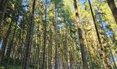
Superbe parcours très boisé et découverte de la rue piétonnière et commerçante de Clervaux.