


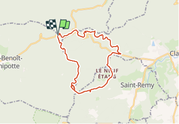

15,7 km | 21 km-effort


Utilisateur


Application GPS de randonnée GRATUITE
 SityTrail
IGN / Instituts géographiques
SityTrail World
Le monde est à vous
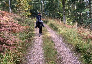
Randonnée Randonnée équestre de 15,2 km à découvrir à Grand Est, Vosges, Saint-Benoît-la-Chipotte. Cette randonnée est proposée par ACPL.
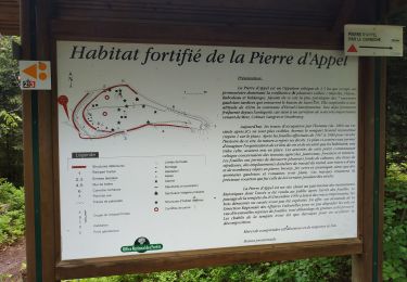
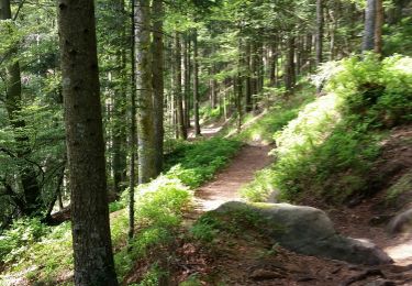
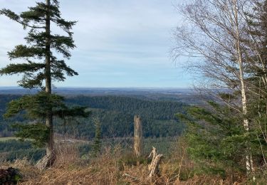
Observatoire point de vue, pause repas a la fontaine des chasseurs (asséchée en cette période). Quelques chemins de chèvres et passages serré (attention aux débutants). Magnifiques chemins.
Randonnée équestre

V.T.T.
V.T.T.
V.T.T.
V.T.T.
Randonnée équestre
Randonnée équestre
Randonnée équestre

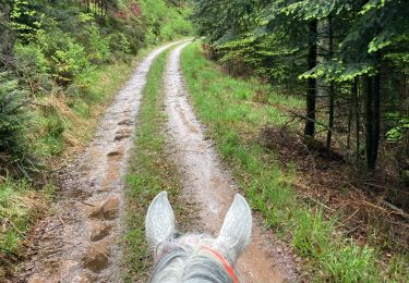
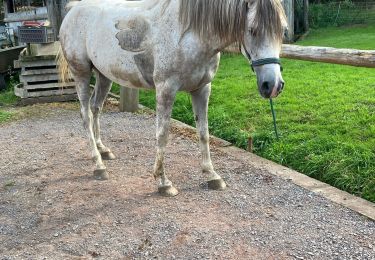
Cheval