
La Perrière, forêt et village

jeannine grandjean
Utilisateur

Longueur
11,1 km

Altitude max
244 m

Dénivelé positif
206 m

Km-Effort
13,8 km

Altitude min
127 m

Dénivelé négatif
206 m
Boucle
Oui
Date de création :
2023-08-23 11:45:17.0
Dernière modification :
2023-08-26 05:47:24.272
3h08
Difficulté : Difficile

Application GPS de randonnée GRATUITE
À propos
Randonnée Marche de 11,1 km à découvrir à Normandie, Orne, Belforêt-en-Perche. Cette randonnée est proposée par jeannine grandjean.
Description
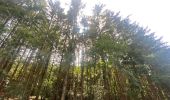
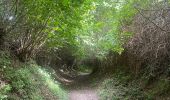
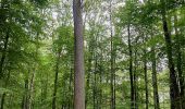
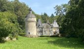
très belle randonnée en forêt, sans oublier d'arpenter les rues et ruelles de ce magnifique village au label de petite cité de caractère situé sur un éperon rocheux et au riche passé historique
Localisation
Pays :
France
Région :
Normandie
Département/Province :
Orne
Commune :
Belforêt-en-Perche
Localité :
Unknown
Départ:(Dec)
Départ:(UTM)
310644 ; 5362737 (31U) N.
Commentaires
Randonnées à proximité
le chêne de l'école


Marche
Très facile
Belforêt-en-Perche,
Normandie,
Orne,
France

15,7 km | 19,7 km-effort
6h 47min
Oui
La Perrière - Saint-Germain-de-la-Coudre via Bellême (TCP) 28 km


Marche
Moyen
Belforêt-en-Perche,
Normandie,
Orne,
France

28 km | 35 km-effort
7h 16min
Non
La Perrière - Saint-Germain-de-la-Coudre via Igé (TCP) 27 km


Marche
Facile
Belforêt-en-Perche,
Normandie,
Orne,
France

27 km | 33 km-effort
7h 2min
Non
La Perrière - Mortagne-au-Perche (TCP) 29 km


Marche
Difficile
Belforêt-en-Perche,
Normandie,
Orne,
France

29 km | 34 km-effort
7h 18min
Non
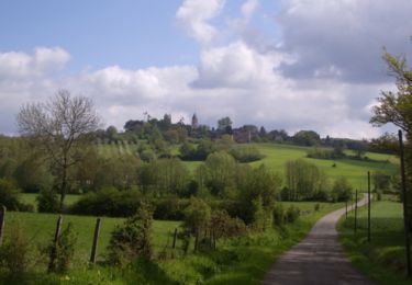
La Perrière : village millénaire


Marche
Moyen
Belforêt-en-Perche,
Normandie,
Orne,
France

11,1 km | 14 km-effort
3h 0min
Oui
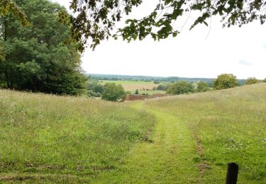
la perrière par la forêt


Marche
Moyen
Belforêt-en-Perche,
Normandie,
Orne,
France

5,6 km | 7,6 km-effort
1h 45min
Oui
fourneaux gr jusqu'au ruisseau


Marche
Moyen
Belforêt-en-Perche,
Normandie,
Orne,
France

5 km | 6,7 km-effort
1h 15min
Oui


2023-12-6 Bellême VduP


Voiture
Belforêt-en-Perche,
Normandie,
Orne,
France

47 km | 56 km-effort
2h 48min
Non


 SityTrail


