


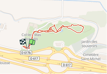

11,1 km | 11,6 km-effort

Utilisateur GUIDE


Application GPS de randonnée GRATUITE
 SityTrail
IGN / Instituts géographiques
SityTrail World
Le monde est à vous
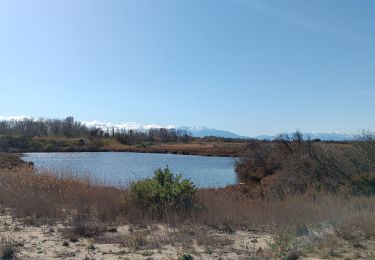
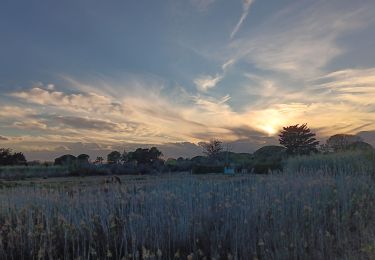
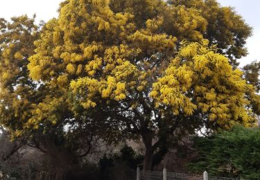
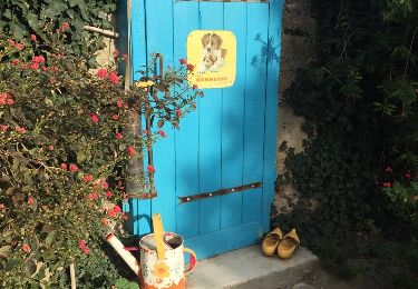
Randonnée Marche de 1,2 km à découvrir à Occitanie, Pyrénées-Orientales, Canet-en-Roussillon. Cette randonnée est proposée par stef789.


Marche

Marche

Marche

Marche
Marche
Marche
Marche
Marche
Marche