


3,5 km | 5,4 km-effort

Utilisateur


Application GPS de randonnée GRATUITE
 SityTrail
IGN / Instituts géographiques
SityTrail World
Le monde est à vous
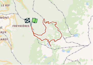
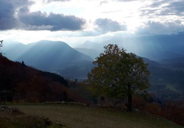
Randonnée Marche de 16,2 km à découvrir à Auvergne-Rhône-Alpes, Isère, Revel. Cette randonnée est proposée par cater38.
Freydière
Lac du Crozet
Lac du loup
Col du loup
Lac de la sitre
Le près du Mollard
Les 3 ruisseaux


29 photos au total. Cliquez sur une photo pour les afficher toutes dans la galerie.

A pied

A pied
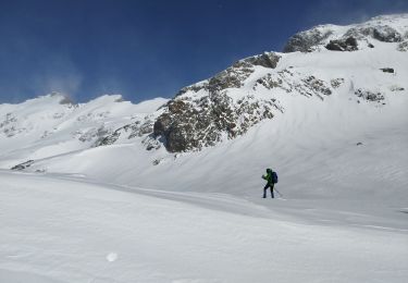
Raquettes à neige
Marche

Marche

Marche

Marche

Marche
Marche