


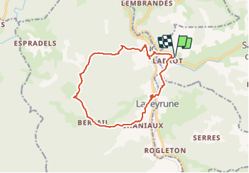

25 km | 34 km-effort

Utilisateur


Application GPS de randonnée GRATUITE
 SityTrail
IGN / Instituts géographiques
SityTrail World
Le monde est à vous
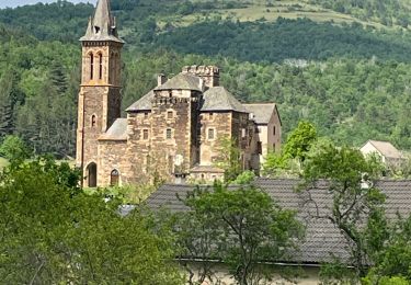
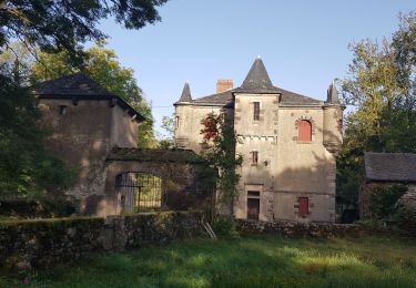
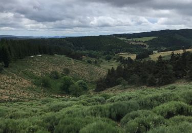
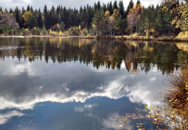
Randonnée Marche de 15 km à découvrir à Auvergne-Rhône-Alpes, Ardèche, Saint-Étienne-de-Lugdarès. Cette randonnée est proposée par coureursdecretes.
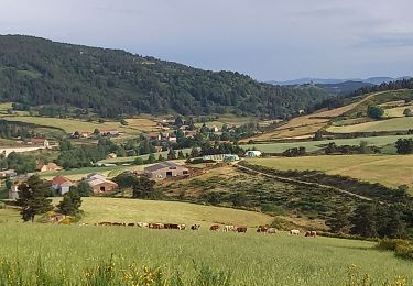
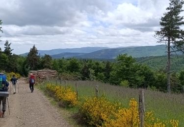
Rando du 14/08/2023
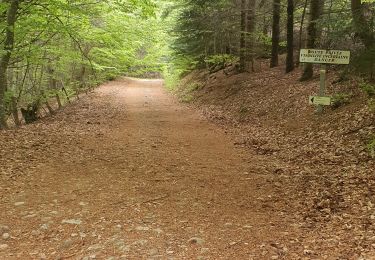
Attention gué à traverser km 14, selon la saison le niveau peut être relativement important.

Marche
Marche
Marche

Marche
Marche
Marche
Marche
Marche
Marche