


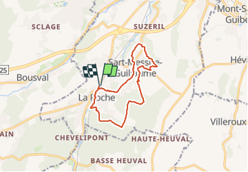


13,3 km | 16,4 km-effort

Utilisateur


Application GPS de randonnée GRATUITE
 SityTrail
IGN / Instituts géographiques
SityTrail World
Le monde est à vous
Randonnée Marche de 10,9 km à découvrir à Wallonie, Brabant wallon, Court-Saint-Étienne. Cette randonnée est proposée par Dominique Laine.
Randonnée agréable et variée, en forêt comme en rase campagne.


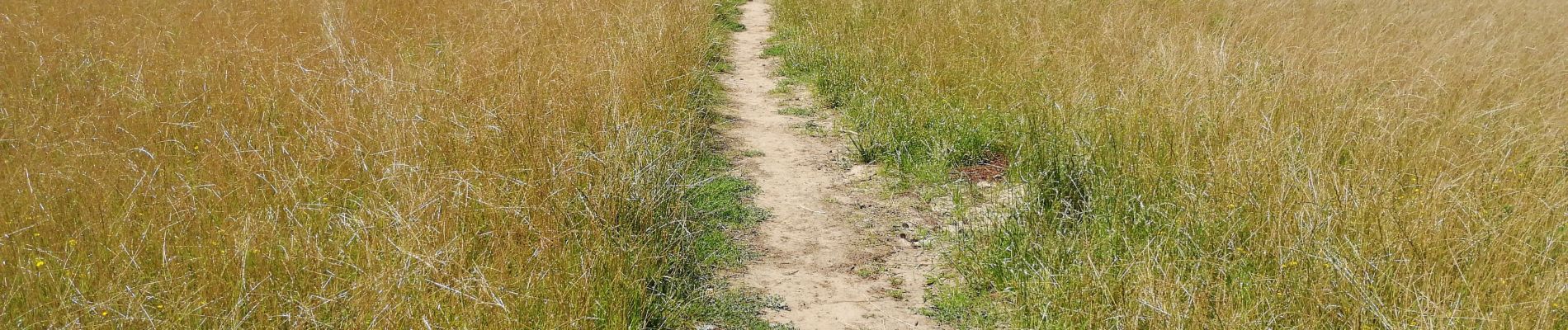
21 photos au total. Cliquez sur une photo pour les afficher toutes dans la galerie.

Marche

Marche

Marche

Marche

Marche

Marche

Marche

Marche

Marche