


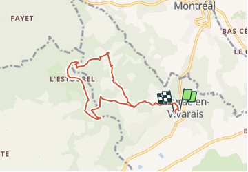

6,8 km | 9,3 km-effort


Utilisateur


Application GPS de randonnée GRATUITE
 SityTrail
IGN / Instituts géographiques
SityTrail World
Le monde est à vous
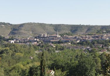
Randonnée Marche de 8,7 km à découvrir à Auvergne-Rhône-Alpes, Ardèche, Laurac-en-Vivarais. Cette randonnée est proposée par enthalpie.
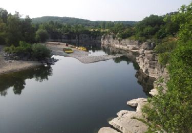
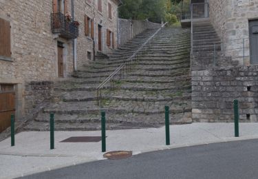
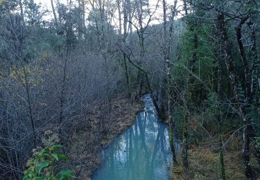
départ de Laurac visite des bords de la rivière du Blajoux
organisée par Laurent guide pour Cap france
Marche

Marche nordique
Marche
Marche
Marche

Marche
Marche
Marche
Vélo de route