4,7 km | 12,5 km-effort
Oberjoch sonthofen
philvidal
Utilisateur
Longueur
16,7 km
Altitude max
1160 m
Dénivelé positif
141 m
Km-Effort
20 km
Altitude min
736 m
Dénivelé négatif
557 m
Boucle
Non
Date de création :
2023-08-13 08:17:52.0
Dernière modification :
2023-08-14 08:29:13.761
6h32
Difficulté : Facile
Application GPS de randonnée GRATUITE
À propos
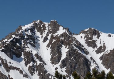
Randonnée Marche de 16,7 km à découvrir à Bavière, Landkreis Oberallgäu, Bad Hindelang. Cette randonnée est proposée par philvidal.
Localisation
Pays :
Allemagne
Région :
Bavière
Département/Province :
Landkreis Oberallgäu
Commune :
Bad Hindelang
Localité :
Unknown
Départ:(Dec)
Départ:(UTM)
606159 ; 5263356 (32T) N.
Commentaires
Randonnées à proximité
Bus Zöllen Katzensteig - Mühlenweg - Augsburgerhütte- Hofersee - Tannheim
Marche
Moyen
Gemeinde Zöblen,
Tyrol,
Bezirk Reutte,
Autriche
5,6 km | 7,9 km-effort
1h 47min
Non