


15,5 km | 28 km-effort


Utilisateur


Application GPS de randonnée GRATUITE
 SityTrail
IGN / Instituts géographiques
SityTrail World
Le monde est à vous
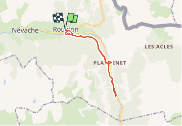
Randonnée Raquettes à neige de 14,6 km à découvrir à Provence-Alpes-Côte d'Azur, Hautes-Alpes, Névache. Cette randonnée est proposée par ARPF.
Mise en forme pour premier jour, révision/formation DVA
Ne pas prendre sentier rive gauche de la Clarée, risque important d'avalanches.
Peut être rallongé à volonté, en continuant de suivre la Clarée.
Visite de Pamplinet et de son église (fermée).

Marche

Marche

Marche

Marche

Marche

Marche

Marche
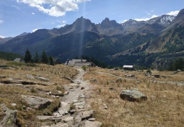
Marche
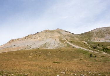
Marche