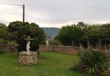
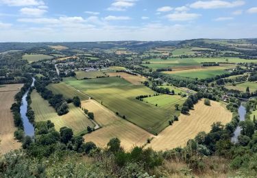
14,8 km | 20 km-effort
2023-08-11_14h09m49_SityTrail - 3384218 - proussy (1)
Houel
Utilisateur
Longueur
21 km
Altitude max
254 m
Dénivelé positif
536 m
Km-Effort
28 km
Altitude min
77 m
Dénivelé négatif
538 m
Boucle
Oui
Date de création :
2023-08-11 12:09:49.362
Dernière modification :
2023-08-11 12:09:50.053
Application GPS de randonnée GRATUITE
À propos
Randonnée de 21 km à découvrir à Normandie, Calvados, Condé-en-Normandie. Cette randonnée est proposée par Houel.
Localisation
Pays :
France
Région :
Normandie
Département/Province :
Calvados
Commune :
Condé-en-Normandie
Localité :
Proussy
Départ:(Dec)
Départ:(UTM)
680495 ; 5417435 (30U) N.
Commentaires
Randonnées à proximité
Clecy - Pontecoulant
Marche
Difficile
Clécy,
Normandie,
Calvados,
France
11,7 km | 15,9 km-effort
2h 36min
Non
Suisse normande le Vey journée 13km
Marche nordique
Difficile
Clécy,
Normandie,
Calvados,
France
12,9 km | 17,6 km-effort
4h 8min
Oui
Suisse normande le Vey matin
Marche nordique
Difficile
Clécy,
Normandie,
Calvados,
France
9,7 km | 13,2 km-effort
4h 8min
Non
Suisse normande le Vey repérage
Marche nordique
Difficile
Clécy,
Normandie,
Calvados,
France
15,7 km | 22 km-effort
4h 8min
Non
Clecy Pain de sucre
Marche
Moyen
Le Vey,
Normandie,
Calvados,
France
9,4 km | 13,2 km-effort
2h 30min
Oui
Sur les Traces de la Dame Blanche
A pied
Facile
Condé-en-Normandie,
Normandie,
Calvados,
France
3,2 km | 4,2 km-effort
56min
Non
Vallée de la Druance
A pied
Facile
Condé-en-Normandie,
Normandie,
Calvados,
France
4,1 km | 5,2 km-effort
1h 11min
Non
Chemin des Genêts
A pied
Facile
Condé-en-Normandie,
Normandie,
Calvados,
France
3,1 km | 4 km-effort
54min
Non