


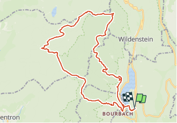

16,8 km | 27 km-effort

Utilisateur


Application GPS de randonnée GRATUITE
 SityTrail
IGN / Instituts géographiques
SityTrail World
Le monde est à vous
Randonnée Marche de 23 km à découvrir à Grand Est, Haut-Rhin, Kruth. Cette randonnée est proposée par boubou68.
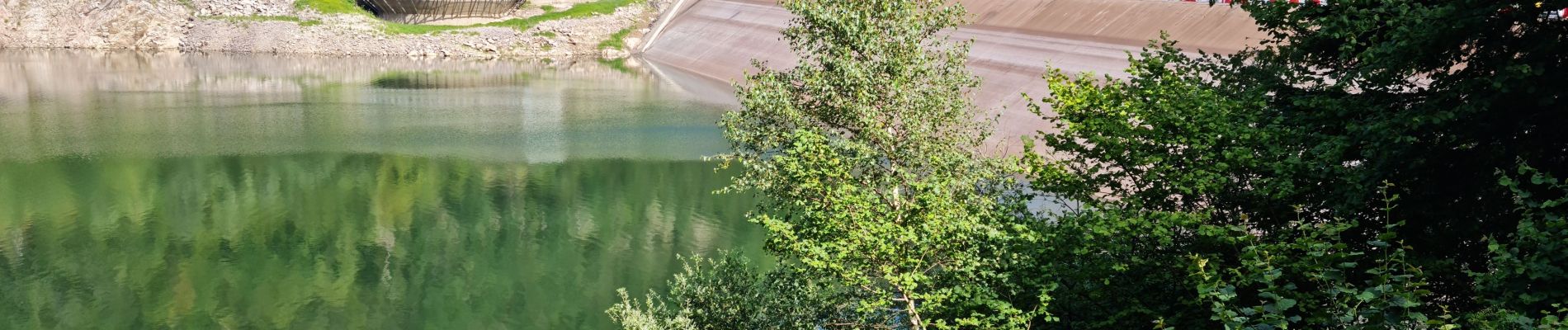
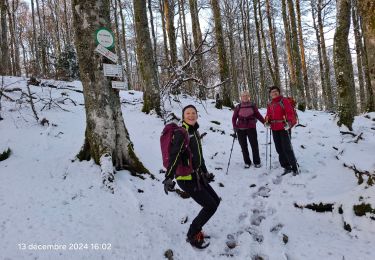
Super rando très variée en difficultés..
dénivelés et sentiers très agréables et certains très caillouteux avec pentes raides...Que du bonheur !


Marche

Marche

Marche

Marche
Marche

Marche
Marche

Marche
Marche