


9 km | 10,1 km-effort

Utilisateur


Application GPS de randonnée GRATUITE
 SityTrail
IGN / Instituts géographiques
SityTrail World
Le monde est à vous
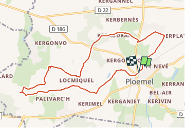
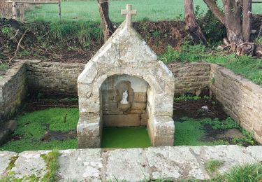
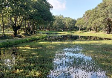
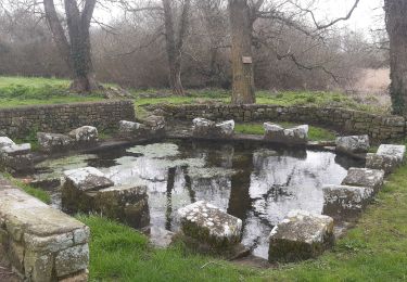
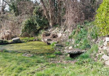
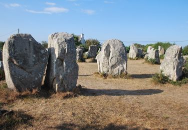
Randonnée Marche de 10,3 km à découvrir à Bretagne, Morbihan, Ploemel. Cette randonnée est proposée par patrickdanilo.
Randonnée Marche de 10,3 km à découvrir à Bretagne, Morbihan, Ploemel. Cette randonnée est proposée par patrickdanilo.


Course à pied
Marche

Autre activité
Marche
Marche
Marche
Marche
A pied
Course à pied