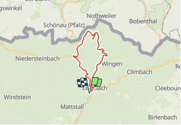

18,4 km | 26 km-effort


Utilisateur


Application GPS de randonnée GRATUITE
 SityTrail
IGN / Instituts géographiques
SityTrail World
Le monde est à vous
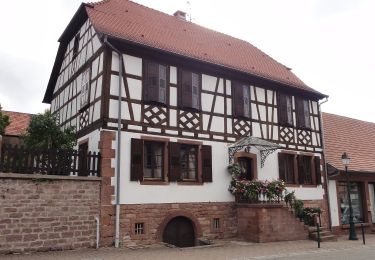
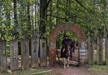
Randonnée Randonnée équestre de 22 km à découvrir à Grand Est, Bas-Rhin, Lembach. Cette randonnée est proposée par Thérèse GASSER.
Pause au Gimbelhof à 12h pour départ 9h30 à cheval.
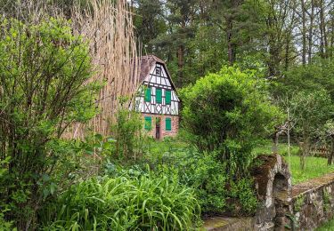
Randonnée équestre

V.T.T.
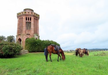
Randonnée équestre
Randonnée équestre
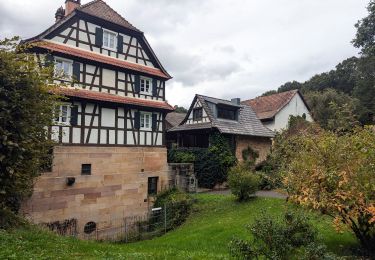
Randonnée équestre
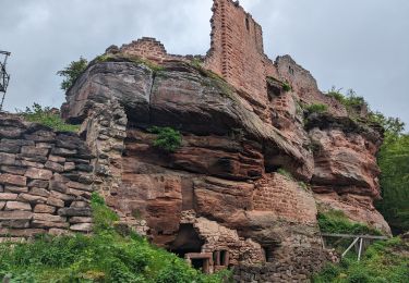
Randonnée équestre
Randonnée équestre
Randonnée équestre