Randonnée Marche Prades - codalet . coll de Clara . abbaye St Michel de Cuxa . canal bohère - Photo

codalet . coll de Clara . abbaye St Michel de Cuxa . canal bohère

 stef789
stef789

Utilisateur GUIDE

© OpenStreetMap contributors
Longueur
Longueur
9,8 km
Altitude max
Altitude max
752 m
Dénivelé positif
Dénivelé positif
370 m
Km-Effort
Km-Effort  
14,7 km
Altitude min
Altitude min
440 m
Dénivelé négatif
Dénivelé négatif
370 m
Boucle
Boucle
Oui
Date de création :
2023-08-06 12:26:08.563
Dernière modification :
2023-08-06 16:48:06.148

(0 Avis)

Marche
Marche
4h21
Difficulté : Moyen

Scannez ce code QR pour ouvrir la randonnée dans l'application SityTrail

Application GPS de randonnée GRATUITE

Logo SityTrail SityTrail

IGN / Instituts géographiques

Télécharger SityTrail sur l'App Store Télécharger SityTrail sur Google Play

Logo SityTrail SityTrail World

Le monde est à vous

Télécharger SityTrail sur l'App Store Télécharger SityTrail sur Google Play Télécharger SityTrail sur Huawei AppGallery

À propos

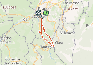
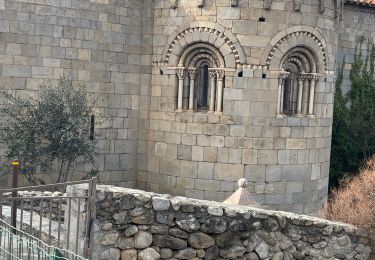
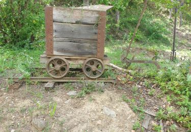
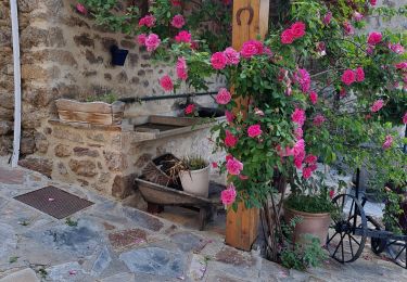
Randonnée Marche de 9,8 km à découvrir à Occitanie, Pyrénées-Orientales, Prades. Cette randonnée est proposée par stef789.

Profil altimétrique

Photos

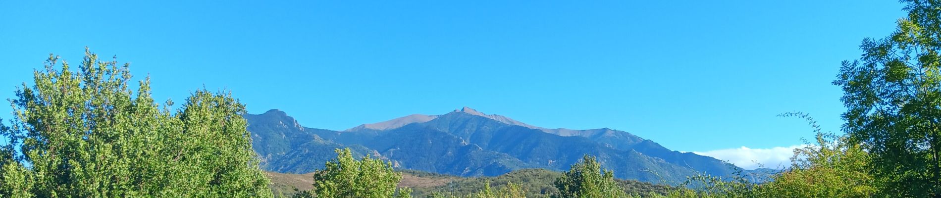
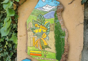
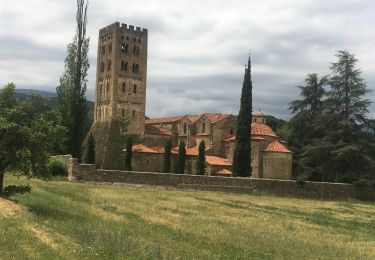
32 photos au total. Cliquez sur une photo pour les afficher toutes dans la galerie.

Localisation

Pays :
France
Région :
Occitanie
Département/Province :
Pyrénées-Orientales
Commune :
Prades
Localité :
Unknown
Départ:(UTM)
452476 ; 4717443 (31T) N.

Randonnées à proximité

Randonnée Marche Ria-Sirach - Sirach-Taurinya-Saint Michel de Cuxa - Photo
Marche
ThonyM

Marche

Facile
(2)
Ria-Sirach, Occitanie, Pyrénées-Orientales, France
13,5 km | 17,2 km-effort
2h 31min
Oui
Randonnée Moteur Codalet - Prades - Villefranche de Conflent - Evol  - Photo
Moteur
crijack

Moteur

Facile
(1)
Codalet, Occitanie, Pyrénées-Orientales, France
36 km | 48 km-effort
3h 47min
Non
Randonnée V.T.T. Ria-Sirach - cami del pi - Photo
V.T.T.
fine66

V.T.T.

Très facile
(1)
Ria-Sirach, Occitanie, Pyrénées-Orientales, France
11,2 km | 18,4 km-effort
1h 52min
Oui
Randonnée Marche Taurinya - le Canigou depuis le col de Millères - Photo
Marche
Machaon6

Marche

Difficile
(1)
Taurinya, Occitanie, Pyrénées-Orientales, France
22 km | 48 km-effort
8h 30min
Oui
Randonnée Marche Codalet - le tour de saint Michel de cuxià - Photo
Marche
michelle.ceres@wanadoo.fr

Marche

Moyen
Codalet, Occitanie, Pyrénées-Orientales, France
8,1 km | 11,1 km-effort
2h 37min
Oui
Randonnée Marche Codalet - Codalet /Taurinya / St Michel de cuca - Photo
Marche
robertperello

Marche

Moyen
Codalet, Occitanie, Pyrénées-Orientales, France
14,4 km | 21 km-effort
3h 49min
Non
Randonnée Marche Corneilla-de-Conflent - Corneilla de Conflent - Photo
Marche
ombrabella

Marche

Facile
Corneilla-de-Conflent, Occitanie, Pyrénées-Orientales, France
12,8 km | 17,7 km-effort
3h 27min
Oui
Randonnée Marche Taurinya - les mines du Salver - Photo
Marche
Dadou 1

Marche

Facile
Taurinya, Occitanie, Pyrénées-Orientales, France
3 km | 4,7 km-effort
1h 41min
Oui
Randonnée Marche Clara-Villerach - clara villerach parking du Liech Lcara - Photo
Marche
bouardlaurent

Marche

Moyen
Clara-Villerach, Occitanie, Pyrénées-Orientales, France
9,6 km | 14,2 km-effort
2h 54min
Oui


Fermer
Mes abonnements