

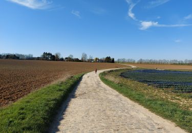
LIGNY _ Marche Adeps _ NA _ 6/08/2023

jeangulu
Utilisateur

Longueur
15,2 km

Altitude max
167 m

Dénivelé positif
99 m

Km-Effort
16,5 km

Altitude min
133 m

Dénivelé négatif
100 m
Boucle
Oui
Date de création :
2023-08-06 08:52:38.811
Dernière modification :
2023-08-06 12:22:50.212
3h29
Difficulté : Moyen

Application GPS de randonnée GRATUITE
À propos
Randonnée Marche de 15,2 km à découvrir à Wallonie, Namur, Sombreffe. Cette randonnée est proposée par jeangulu.
Description
Organisateur : Football club de Ligny - Julien Vervotte - 0475 722 875.
Point de départ : Rue du Grand Centrale [ 5240 ].
Localité : LIGNY.
Province :Namur.
Entité : Sombreffe.
Carte IGN : 47/1.
Localisation
Pays :
Belgique
Région :
Wallonie
Département/Province :
Namur
Commune :
Sombreffe
Localité :
Unknown
Départ:(Dec)
Départ:(UTM)
611147 ; 5596555 (31U) N.
Commentaires
Randonnées à proximité
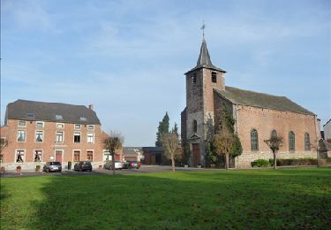
De Balâtre à Tongrinne par la vallée de la Ligne


Marche
Facile
(1)
Jemeppe-sur-Sambre,
Wallonie,
Namur,
Belgique

12,9 km | 15,4 km-effort
3h 0min
Oui
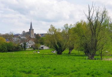
Marche Adeps à Tongrinne - Sombreffe


Marche
Difficile
Sombreffe,
Wallonie,
Namur,
Belgique

11,3 km | 13,2 km-effort
2h 59min
Oui
VTT autour de Saint-Amand.


V.T.T.
Très difficile
Fleurus,
Wallonie,
Hainaut,
Belgique

40 km | 46 km-effort
3h 10min
Oui
VTT A LA CONQUETE DU PARCOUR FLECHE DE FLEURUS


V.T.T.
Difficile
Fleurus,
Wallonie,
Hainaut,
Belgique

32 km | 35 km-effort
2h 25min
Oui
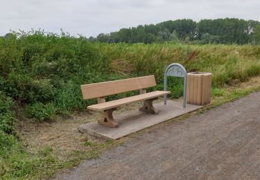
Balade de Ligny à Sombreffe


Marche
Très facile
(1)
Sombreffe,
Wallonie,
Namur,
Belgique

9,3 km | 10,4 km-effort
4h 27min
Oui
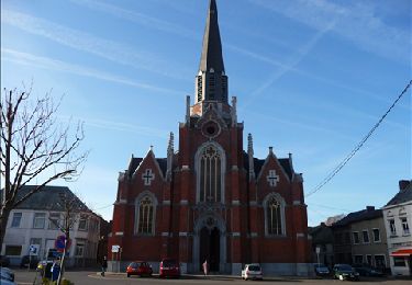
De Wanfercée - Baulet à Velaine par bois et campagnes


Marche
Facile
(1)
Fleurus,
Wallonie,
Hainaut,
Belgique

12,2 km | 14,3 km-effort
3h 0min
Oui
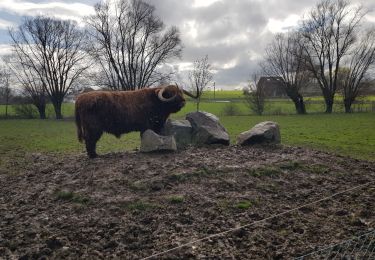
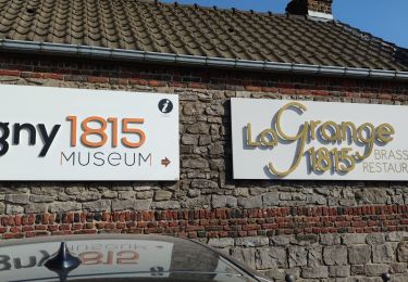
Randonnée autour de Ligny


Marche
Très facile
Sombreffe,
Wallonie,
Namur,
Belgique

22 km | 24 km-effort
4h 9min
Oui
Baulet


Marche
Très facile
(1)
Fleurus,
Wallonie,
Hainaut,
Belgique

7,4 km | 8,2 km-effort
1h 55min
Oui


 SityTrail


