


29 km | 33 km-effort

Utilisateur


Application GPS de randonnée GRATUITE
 SityTrail
IGN / Instituts géographiques
SityTrail World
Le monde est à vous
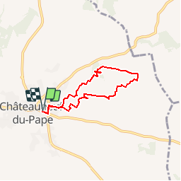
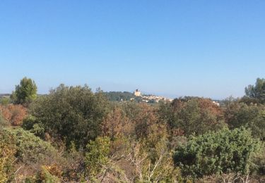
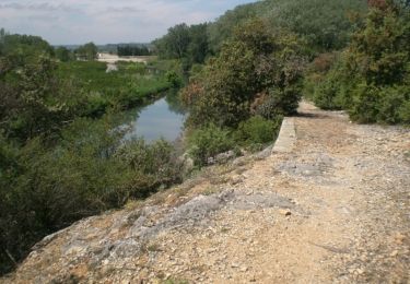
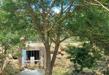
Randonnée Marche de 5,8 km à découvrir à Provence-Alpes-Côte d'Azur, Vaucluse, Châteauneuf-du-Pape. Cette randonnée est proposée par clanglume.
Randonnée très facile, sans difficultés. Points de vue sur les environs à voir.
Je le recommande.
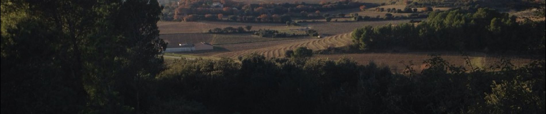
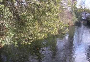
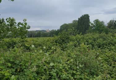
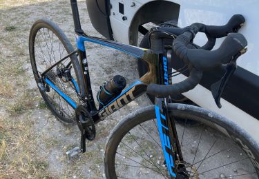
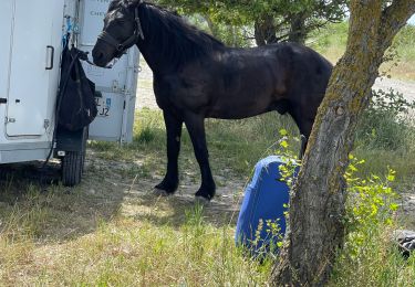
 - Photo 1")
 - Photo 2")
 - Photo 3")
 - Photo 4")
 - Photo 5")
 - Photo 6")
 - Photo 7")
Vélo

Marche
Marche
Marche
V.T.T.
Marche
Vélo de route
Vélo de route
Attelage