


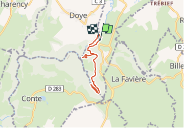

22 km | 29 km-effort


Club randonnées SERVON


Application GPS de randonnée GRATUITE
 SityTrail
IGN / Instituts géographiques
SityTrail World
Le monde est à vous
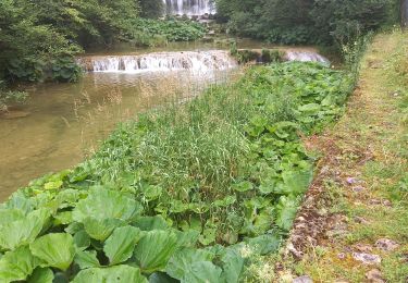
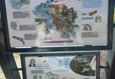
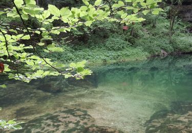
Randonnée Marche de 7 km à découvrir à Bourgogne-Franche-Comté, Jura, Nozeroy. Cette randonnée est proposée par Les 1000 pattes.
Parking Waze :
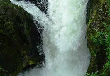
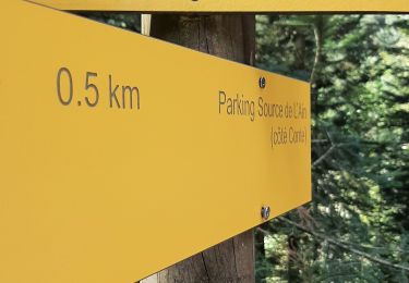
"Parking Cascade Moulin du Saut - Doye 39250"
Trajet aller 10 km 10 min
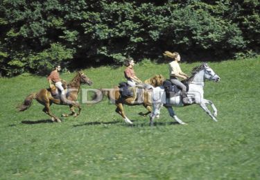
Cheval
Marche
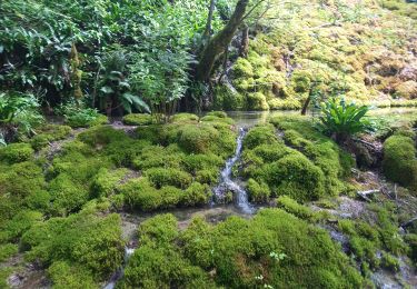
Marche
Marche
Marche

Marche

Marche