


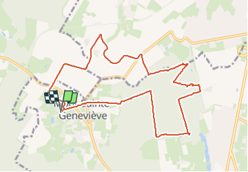


9,9 km | 12 km-effort

Utilisateur GUIDE


Application GPS de randonnée GRATUITE
 SityTrail
IGN / Instituts géographiques
SityTrail World
Le monde est à vous
Randonnée Marche de 10,5 km à découvrir à Wallonie, Hainaut, Lobbes. Cette randonnée est proposée par Desrumaux.
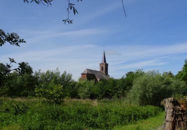
Jolie balade agréablement partagée entre campagne et forêt avec de belles allées forestières et des sentiers cachés.
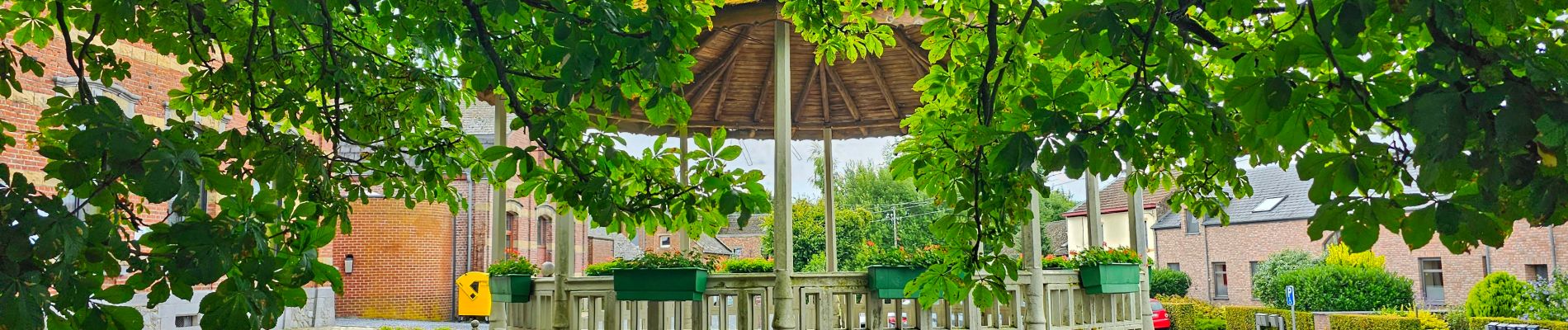
Départ kiosque de Mont-Sainte-Geneviève entité de Lobbes


Marche

Marche
Marche

Marche

Marche

Marche

Marche
Marche

Marche