


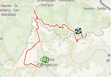

4,1 km | 10,8 km-effort


Utilisateur


Application GPS de randonnée GRATUITE
 SityTrail
IGN / Instituts géographiques
SityTrail World
Le monde est à vous
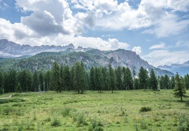
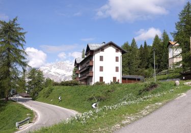
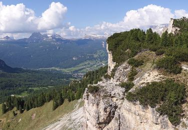
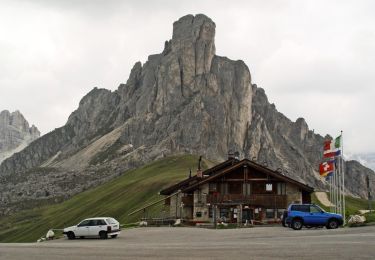
Randonnée Marche de 80 km à découvrir à Vénétie, Belluno, Cortina d'Ampezzo. Cette randonnée est proposée par patsure.
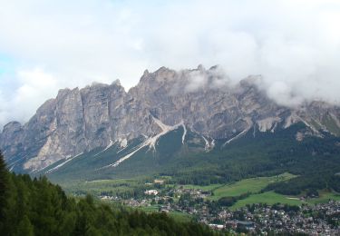
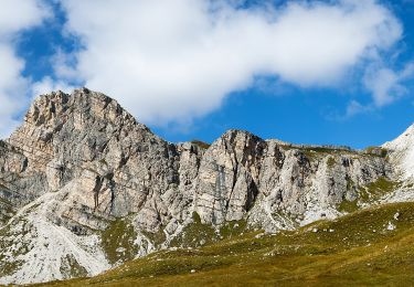
Dolomites - Trek de 6 jours avec Allibert en juillet 2023.
Une très belle expérience avec ma pote Emmanuelle, la guide Giulia et un groupe sympa.
A pied
A pied
A pied
A pied
A pied
A pied
A pied
A pied