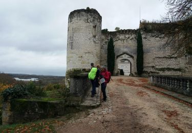
17,8 km | 20 km-effort
lye
cristinette
Utilisateur
Longueur
16,5 km
Altitude max
131 m
Dénivelé positif
219 m
Km-Effort
19,5 km
Altitude min
79 m
Dénivelé négatif
219 m
Boucle
Oui
Date de création :
2023-07-26 06:23:06.327
Dernière modification :
2023-07-26 12:55:24.022
4h10
Difficulté : Facile
Application GPS de randonnée GRATUITE
À propos
Randonnée Marche de 16,5 km à découvrir à Centre-Val de Loire, Indre, Lye. Cette randonnée est proposée par cristinette.
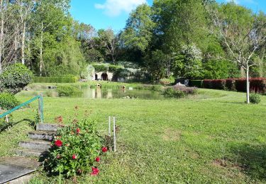
Localisation
Pays :
France
Région :
Centre-Val de Loire
Département/Province :
Indre
Commune :
Lye
Localité :
Unknown
Départ:(Dec)
Départ:(UTM)
384427 ; 5231642 (31T) N.
Commentaires
Randonnées à proximité
villentrois 2019
Marche
Très facile
Villentrois-Faverolles-en-Berry,
Centre-Val de Loire,
Indre,
France
3h 13min
Non
le puits de saray - tesnières
Marche
Très difficile
Lye,
Centre-Val de Loire,
Indre,
France
25 km | 30 km-effort
5h 12min
Non
faverolles en berry
Marche
Facile
Villentrois-Faverolles-en-Berry,
Centre-Val de Loire,
Indre,
France
17,1 km | 19,6 km-effort
3h 12min
Oui
meusnes
Marche
Très facile
Meusnes,
Centre-Val de Loire,
Loir-et-Cher,
France
12,7 km | 14,5 km-effort
3h 5min
Oui
couffy
Marche
Très facile
Couffy,
Centre-Val de Loire,
Loir-et-Cher,
France
14,7 km | 16,5 km-effort
2h 24min
Non
chatilon canal
Autre activité
Très facile
Châtillon-sur-Cher,
Centre-Val de Loire,
Loir-et-Cher,
France
7,6 km | 8,6 km-effort
1h 30min
Oui
écluse noyers
Autre activité
Très facile
Noyers-sur-Cher,
Centre-Val de Loire,
Loir-et-Cher,
France
1,9 km | 2,1 km-effort
23min
Oui