


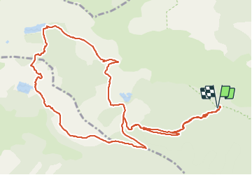

10,5 km | 18,1 km-effort

Utilisateur


Application GPS de randonnée GRATUITE
 SityTrail
IGN / Instituts géographiques
SityTrail World
Le monde est à vous
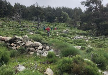
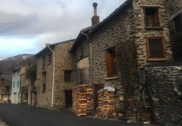
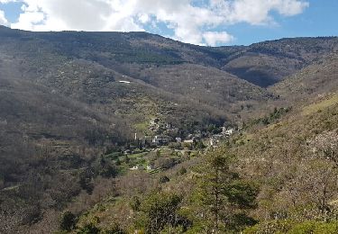
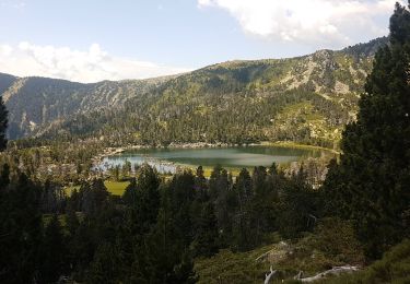
Randonnée Marche de 15,7 km à découvrir à Occitanie, Pyrénées-Orientales, Nohèdes. Cette randonnée est proposée par oscar1.
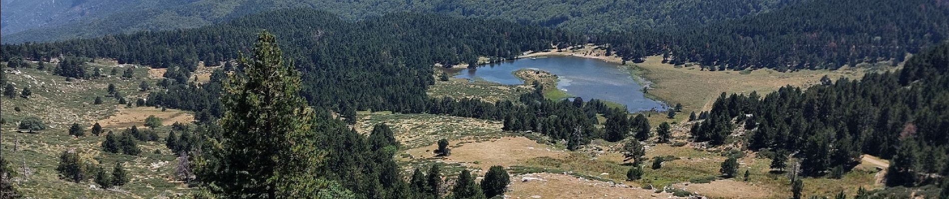
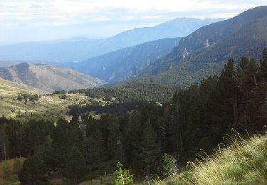
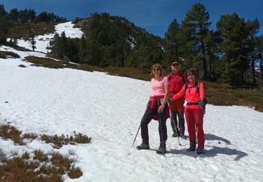
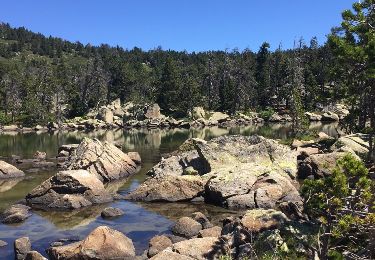
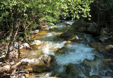
Très belle randonnée avec de nombreux points de vue magnifique. Marche pour personnes en bonne condition physique. A partir du 5ème 6 ème Km., avant le lac Nègre la montée est rude, le chemin est escarpé.


Marche
Marche
Marche
A pied
Marche
Marche
Marche
Marche

Marche