


12 km | 21 km-effort


Utilisateur GUIDE


Application GPS de randonnée GRATUITE
 SityTrail
IGN / Instituts géographiques
SityTrail World
Le monde est à vous
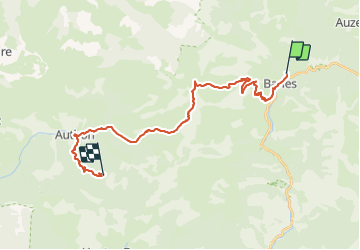
Randonnée Randonnée équestre de 26 km à découvrir à Provence-Alpes-Côte d'Azur, Alpes-de-Haute-Provence, Barles. Cette randonnée est proposée par holtzv.
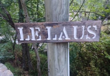
Barles vers Col de Fontbelle
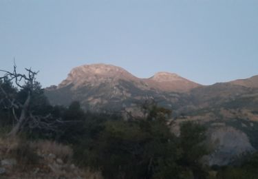
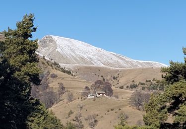
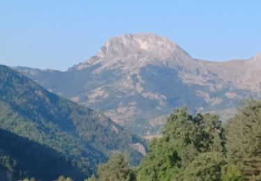
Remontée sur la crête non loin des cloches de Barles et jusqu'au sommet de Chine.
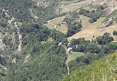
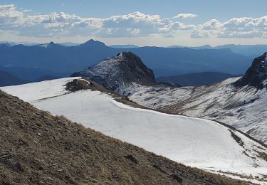
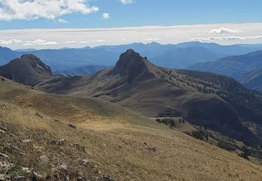
La vallée de Feissal qui vous ramène à Authon, serpente entre les Monges et Géruen. Au carrefour de «Feissal» quittez le GR©6 et restez sur la piste jusqu’à Authon.
Marche
Marche

Marche
Marche
Marche
Marche
Marche
Marche
Marche