


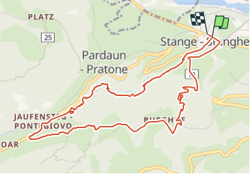

4 km | 9,6 km-effort


Utilisateur


Application GPS de randonnée GRATUITE
 SityTrail
IGN / Instituts géographiques
SityTrail World
Le monde est à vous
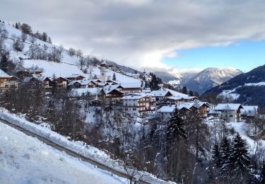
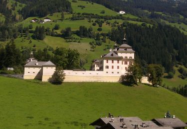
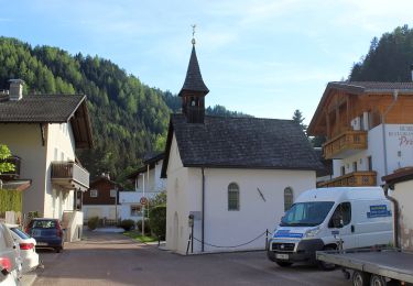
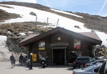
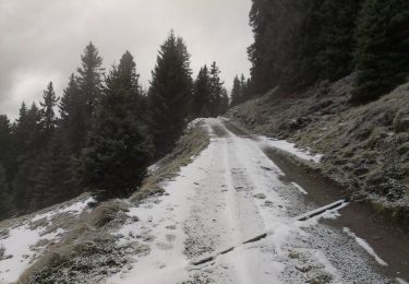
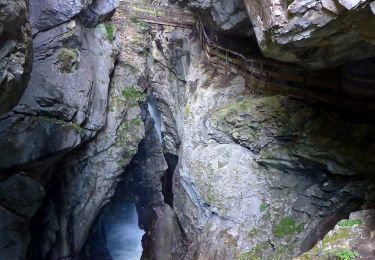
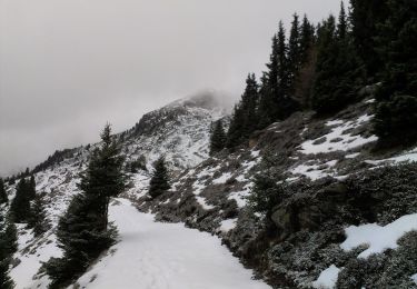
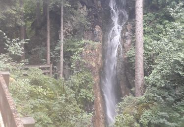
Randonnée Marche de 6,2 km à découvrir à Trentin-Haut-Adige, Haut-Adige, Ratschings - Racines. Cette randonnée est proposée par pidjam.
La montée dans les gorges est très belle (chemin payant) , avec la descente par le chemin "3" . Le point de départ est l'arrêt de bus (312 et 319).
A pied
A pied
A pied
A pied
A pied
A pied
A pied
A pied
Marche