


13,9 km | 15,6 km-effort

Utilisateur


Application GPS de randonnée GRATUITE
 SityTrail
IGN / Instituts géographiques
SityTrail World
Le monde est à vous
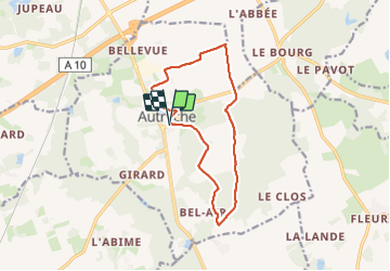
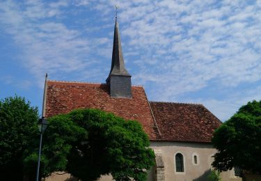
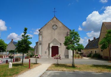
Randonnée Marche de 12,3 km à découvrir à Centre-Val de Loire, Indre-et-Loire, Autrèche. Cette randonnée est proposée par guydu41.
Petit circuit très bien balisé (jaune et/ou rouge) sur chemins à travers bois et champs.
Passage à côté d'un petit aérodrome (base ULM de Morand) perdu au milieu des champs, bordé de blocs en ciment et bien entretenu ?


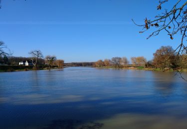
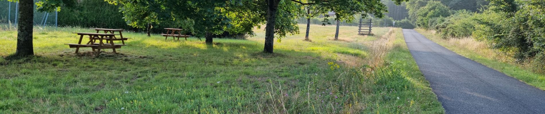
Marche
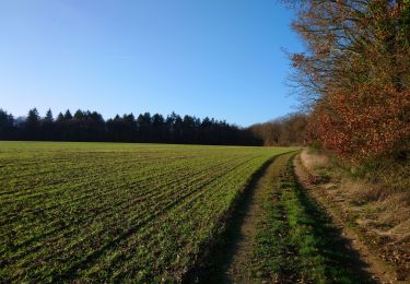
Marche
Marche
Marche