


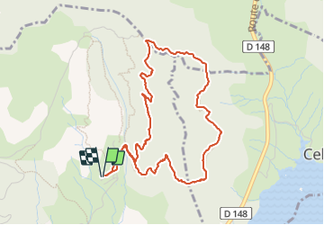

7 km | 9,7 km-effort


Utilisateur


Application GPS de randonnée GRATUITE
 SityTrail
IGN / Instituts géographiques
SityTrail World
Le monde est à vous
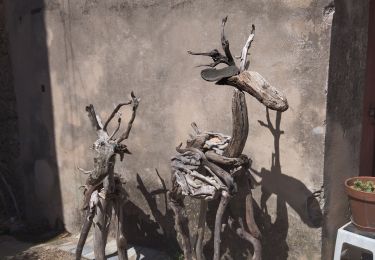
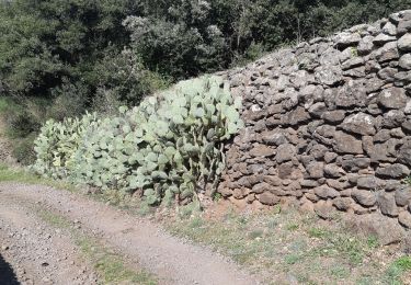
Randonnée Marche de 5,3 km à découvrir à Occitanie, Hérault, Octon. Cette randonnée est proposée par vvinzz.
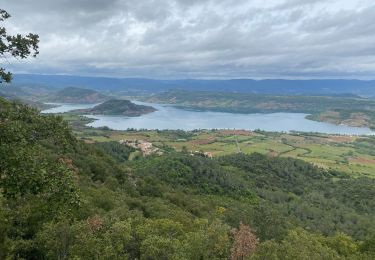
Randonue dans propriété privée du camping naturiste village du Boscq. Avec de magnifiques points de vue sur le lac de Salagou.
Marche nordique

Marche nordique

Marche
Marche
Marche
Marche

Marche
Marche
Marche